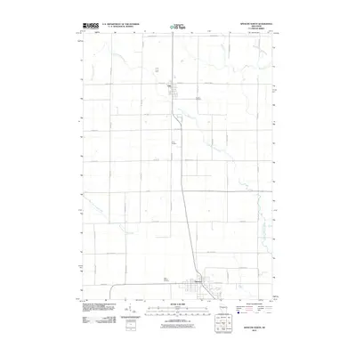
2010 Map of Spencer North
USGS Topo · Published 2010About this map
Unity and Spencer anchor this northern Wisconsin landscape, where the agricultural grid is defined by a dense network of local roads such as Mill Rd and Century Rd. The terrain is drained by the meandering Little Eau Pleine River and the South Fork Popple River, which cut through the orderly section lines of Marathon County. For genealogists and local historians, several burial sites are clearly marked, including Brighton Cemetery to the east of Unity and Trinity Cemetery further south. The proximity of West Spencer Cemetery to the village of Spencer provides a clear point of reference for families tracing their roots in this region. This survey illustrates the steady persistence of rural communities where long-established townships are interconnected by routes like County Hwy-K and County Hwy-P.
Find a feature on this map
46 named features on this map. Tap any name to fly to it.
Don’t see what you’re looking for? This feature index may not catch every label — zoom into the map to look around manually.
Map Details
Editions of this 2010 Spencer North Map
This is the sole edition of this map. No revisions or reprints were ever made.
Other maps of this area

1902 · Marathon
USGS Topo · 1:125,000

1953 · Abbotsford
USGS Topo · 1:48,000

1953 · Stratford
USGS Topo · 1:48,000

1953 · Eau Claire
USGS Topo · 1:250,000

1954 · Granton
USGS Topo · 1:62,500

1954 · Marshfield
USGS Topo · 1:62,500

1958 · Eau Claire
USGS Topo · 1:250,000

1963 · Stratford
USGS Topo · 1:62,500

1963 · Abbotsford
USGS Topo · 1:62,500

1964 · Eau Claire
USGS Topo · 1:250,000