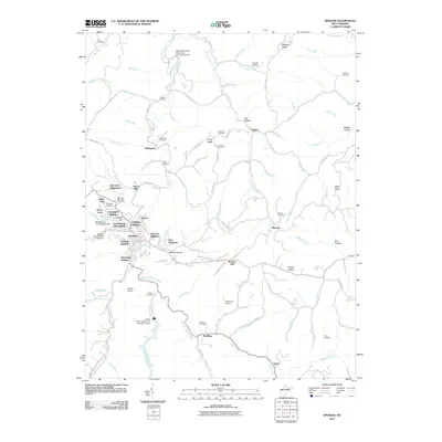
2011 Map of Spencer
USGS Topo · Published 2011About this map
The town of Spencer serves as the focal point of this Roane County landscape, surrounded by a dense network of residential additions and subdivisions including Hassock Addition, Schilling Addition, and Oak Drive Subdivision. The geography is defined by the winding course of Spring Creek and its various tributaries such as Goff Run and Tanner Run, which have carved out numerous named hollows like Steele Hollow and Ball Hollow.
Find a feature on this map
112 named features on this map. Tap any name to fly to it.
Don’t see what you’re looking for? This feature index may not catch every label — zoom into the map to look around manually.
Map Details
Editions of this 2011 Spencer Map
This is the sole edition of this map. No revisions or reprints were ever made.
Other maps of this area

1906 · Otter
USGS Topo · 1:62,500

1906 · Walton
USGS Topo · 1:62,500

1907 · Otter
USGS Topo · 1:62,500

1907 · Arnoldsburg
USGS Topo · 1:62,500

1907 · Spencer
USGS Topo · 1:62,500

1907 · Walton
USGS Topo · 1:62,500

1925 · Arnoldsburg
USGS Topo · 1:62,500

1927 · Arnoldsburg
USGS Topo · 1:62,500

1928 · Spencer
USGS Topo · 1:62,500

1954 · Charleston
USGS Topo · 1:250,000