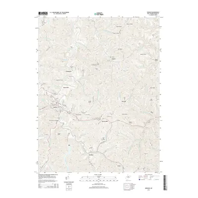
2014 Map of Spencer
USGS Topo · Published 2014About this map
Spencer serves as the regional hub in this 2014 depiction of Roane County, where the street grid fans out from W Main St and Market St. The town is surrounded by a complex network of ridges and hollows, characteristic of the West Virginia landscape. Small outlying settlements like Wellington, Triplett, and Schilling are connected by winding routes such as WV 36 and Us 119. Local aviation is represented by both Boggs Field Airport and State Run Airport, which utilize the rare flat stretches found near the valley floors.
Find a feature on this map
123 named features on this map. Tap any name to fly to it.
Don’t see what you’re looking for? This feature index may not catch every label — zoom into the map to look around manually.
Map Details
Editions of this 2014 Spencer Map
This is the sole edition of this map. No revisions or reprints were ever made.
Other maps of this area

1906 · Otter
USGS Topo · 1:62,500

1906 · Walton
USGS Topo · 1:62,500

1907 · Otter
USGS Topo · 1:62,500

1907 · Arnoldsburg
USGS Topo · 1:62,500

1907 · Spencer
USGS Topo · 1:62,500

1907 · Walton
USGS Topo · 1:62,500

1925 · Arnoldsburg
USGS Topo · 1:62,500

1927 · Arnoldsburg
USGS Topo · 1:62,500

1928 · Spencer
USGS Topo · 1:62,500

1954 · Charleston
USGS Topo · 1:250,000