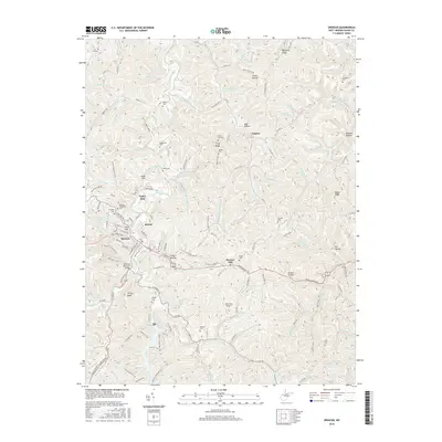
2016 Map of Spencer
USGS Topo · Published 2016About this map
Spencer serves as the primary hub of this landscape, situated at the junction of several key routes including Arnoldsburg Road. The town's layout is defined by its topographic constraints, with residential areas climbing Cemetery Hill and Coll Hill while commercial development follows the valley of Spring Creek. Notable infrastructure includes the Veterans Memorial Bridge and the nearby Slate Run Airport, which serve the local valley communities like Alvord and Bowers Hill.
Find a feature on this map
146 named features on this map. Tap any name to fly to it.
Don’t see what you’re looking for? This feature index may not catch every label — zoom into the map to look around manually.
Map Details
Editions of this 2016 Spencer Map
This is the sole edition of this map. No revisions or reprints were ever made.
Other maps of this area

1906 · Otter
USGS Topo · 1:62,500

1906 · Walton
USGS Topo · 1:62,500

1907 · Otter
USGS Topo · 1:62,500

1907 · Arnoldsburg
USGS Topo · 1:62,500

1907 · Spencer
USGS Topo · 1:62,500

1907 · Walton
USGS Topo · 1:62,500

1925 · Arnoldsburg
USGS Topo · 1:62,500

1927 · Arnoldsburg
USGS Topo · 1:62,500

1928 · Spencer
USGS Topo · 1:62,500

1954 · Charleston
USGS Topo · 1:250,000