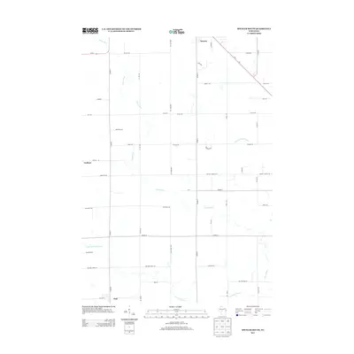
2013 Map of Spencer South
USGS Topo · Published 2013About this map
Spencer stands at the northern edge of this agricultural landscape, where the Yellow River and its various branches create a complex drainage network across Marathon County. The region is defined by a rigid grid of rural roads and family-named thoroughfares such as Heintown Rd and Panther Creek Rd, reflecting the late-century transition from dense timber to established dairy country. Small settlements like Chili and Veefkind anchor the southern and western portions of the quadrangle, connected by state routes Wi-13 and Wi-98. The hydrography is particularly intricate, featuring the East Br Yellow River and S Br Yellow River, which carve through the land and influence the placement of local connector roads such as Co Hwy-V and Co Hwy-Y.
Find a feature on this map
43 named features on this map. Tap any name to fly to it.
Don’t see what you’re looking for? This feature index may not catch every label — zoom into the map to look around manually.
Map Details
Editions of this 2013 Spencer South Map
This is the sole edition of this map. No revisions or reprints were ever made.
Other maps of this area

1902 · Marathon
USGS Topo · 1:125,000

1953 · Abbotsford
USGS Topo · 1:48,000

1953 · Stratford
USGS Topo · 1:48,000

1953 · Eau Claire
USGS Topo · 1:250,000

1954 · Granton
USGS Topo · 1:62,500

1954 · Marshfield
USGS Topo · 1:62,500

1958 · Eau Claire
USGS Topo · 1:250,000

1963 · Stratford
USGS Topo · 1:62,500

1963 · Abbotsford
USGS Topo · 1:62,500

1964 · Eau Claire
USGS Topo · 1:250,000