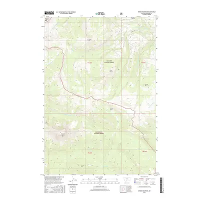
2017 Map of Sphinx Mountain
USGS Topo · Published 2017About this map
Sphinx Mtn and The Helmet define the high elevations of the Madison Range within this 2017 survey of the Montana high country. The landscape is split between the Gallatin National Forest to the north and the Beaverhead National Forest to the south, showcasing a complex network of drainage basins and peaks. High-altitude features like McAtee Basin and Flattop Mtn sit amidst a web of waterways including McAtee Cr and the S Fork W Fork Gallatin River. This map captures the intersection of major national forests and the dramatic topography of Pioneer Mtn and Circle Mtn, providing a detailed view of the wilderness area just south of the Big Sky vicinity before it gives way to the lower valley reaches.
Find a feature on this map
30 named features on this map. Tap any name to fly to it.
Don’t see what you’re looking for? This feature index may not catch every label — zoom into the map to look around manually.
Map Details
Editions of this 2017 Sphinx Mountain Map
This is the sole edition of this map. No revisions or reprints were ever made.
Other maps of this area

1888 · Three Forks
USGS Topo · 1:250,000

1894 · Three Forks
USGS Topo · 1:250,000

1895 · Three Forks
USGS Topo · 1:250,000

1947 · Bozeman
USGS Topo · 1:250,000

1948 · Bozeman
USGS Topo · 1:250,000

1949 · Ennis
USGS Topo · 1:62,500

1950 · Cameron
USGS Topo · 1:62,500

1950 · Spanish Peaks
USGS Topo · 1:62,500

1950 · Sphinx Mountain
USGS Topo · 1:62,500

1955 · Bozeman
USGS Topo · 1:250,000