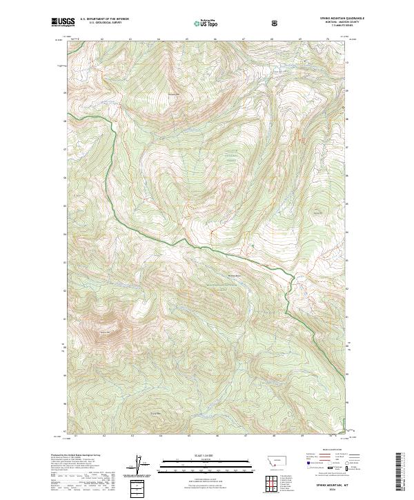
2024 Map of Sphinx Mountain
USGS Topo · Published 2024About this map
Sphinx Mtn and Pioneer Mtn dominate the high-altitude topography of this Madison County region, where the boundaries of the Gallatin National Forest, Beaverhead National Forest, and the Lee Metcalf Wilderness converge. The landscape is defined by an intricate network of ridgeline trails and mountain drainages that feed the South Fork West Fork Gallatin River. Significant local landmarks include the McAtee Basin and Circle Mtn, reflecting the land's transition between managed forest and protected wilderness. The mapping reveals a modern trail system, including the Inspiration Divide Trl and Buck Ridge Trl, which navigate the complex divides between watersheds like Muddy Creek and McAtee Creek. This survey provides a precise view of the remote drainage patterns and named peaks as they exist in the early twenty-first century.
Find a feature on this map
33 named features on this map. Tap any name to fly to it.
Don’t see what you’re looking for? This feature index may not catch every label — zoom into the map to look around manually.
Map Details
Editions of this 2024 Sphinx Mountain Map
This is the sole edition of this map. No revisions or reprints were ever made.
Other maps of this area

1888 · Three Forks
USGS Topo · 1:250,000

1894 · Three Forks
USGS Topo · 1:250,000

1895 · Three Forks
USGS Topo · 1:250,000

1947 · Bozeman
USGS Topo · 1:250,000

1948 · Bozeman
USGS Topo · 1:250,000

1949 · Ennis
USGS Topo · 1:62,500

1950 · Cameron
USGS Topo · 1:62,500

1950 · Spanish Peaks
USGS Topo · 1:62,500

1950 · Sphinx Mountain
USGS Topo · 1:62,500

1955 · Bozeman
USGS Topo · 1:250,000