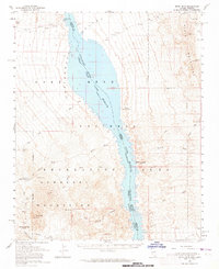
1959 Map of Spirit Mtn
USGS Topo · Published 1965About this map
The Colorado River corridor defines this arid borderland between Nevada and Arizona, dominated by the reservoir of Lake Mohave within the Lake Mead National Recreation Area. The map documents a rugged landscape shaped by mid-century mineral exploration and emerging recreation, featuring a network of primitive tracks like the Jeep Trail winding through the Newberry Mountains.
Find a feature on this map
30 named features on this map. Tap any name to fly to it.
Don’t see what you’re looking for? This feature index may not catch every label — zoom into the map to look around manually.
Map Details
Editions of this 1959 Spirit Mtn Map
2 editions found
Other maps of this area

1886 · Camp Mohave
USGS Topo · 1:250,000

1892 · Camp Mohave
USGS Topo · 1:250,000

1926 · Nelson
USGS Topo · 1:96,000

1926 · Mohave City
USGS Topo · 1:96,000

1942 · Camp Mohave
USGS Topo · 1:250,000

1947 · Kingman
USGS Topo · 1:250,000

1948 · Kingman
USGS Topo · 1:250,000

1950 · Davis Dam
USGS Topo · 1:62,500

1952 · Davis Dam
USGS Topo · 1:62,500

1954 · Kingman
USGS Topo · 1:250,000