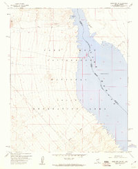
1959 Map of Spirit Mtn NW
USGS Topo · Published 1960About this map
Lake Mohave dominates this 1950s desert landscape, following the course of the Colorado River along the Nevada and Arizona border. The map captures a transitional moment in the development of the Lake Mead National Recreation Area, where the rising waters behind Davis Dam have filled the lower reaches of Cottonwood Valley. At Cottonwood Cove, the shoreline begins to take its modern shape, supported by a remote Landing Strip on the Arizona side of the reservoir. To the west, the arid terrain rises toward Black Mtn, dissected by drainage systems like Nellis Wash. This survey provides a precise record of the shoreline's maximum elevation and the jurisdictional boundaries between Clark County, Nevada, and Mohave County, Arizona, before more intensive recreational infrastructure was established.
Find a feature on this map
12 named features on this map. Tap any name to fly to it.
Don’t see what you’re looking for? This feature index may not catch every label — zoom into the map to look around manually.
Map Details
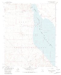
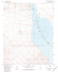
Editions of this 1959 Spirit Mtn NW Map
3 editions found
Other maps of this area

1886 · Camp Mohave
USGS Topo · 1:250,000

1892 · Camp Mohave
USGS Topo · 1:250,000

1926 · Nelson
USGS Topo · 1:96,000

1926 · Mohave City
USGS Topo · 1:96,000

1942 · Camp Mohave
USGS Topo · 1:250,000

1947 · Kingman
USGS Topo · 1:250,000

1948 · Kingman
USGS Topo · 1:250,000

1954 · Kingman
USGS Topo · 1:250,000

1955 · Kingman
USGS Topo · 1:250,000

1958 · Kingman
USGS Topo · 1:250,000