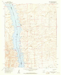
1958 Map of Spirit Mtn. SE
USGS Topo · Published 1960About this map
Lake Mead National Recreation Area dominates this desert landscape at the border of Arizona and Nevada, showing the Colorado River as it flows south through Pyramid Canyon. The map records a specific moment in the river's management, noting a maximum elevation of 647 feet. On the eastern shore, the Mohave Crossing (Site) suggests an earlier era of transit across the river before modern water management transformed the corridor.
Find a feature on this map
23 named features on this map. Tap any name to fly to it.
Don’t see what you’re looking for? This feature index may not catch every label — zoom into the map to look around manually.
Map Details
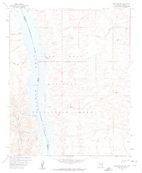
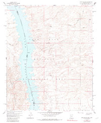
Editions of this 1958 Spirit Mtn. SE Map
3 editions found
Other maps of this area

1886 · Camp Mohave
USGS Topo · 1:250,000

1892 · Camp Mohave
USGS Topo · 1:250,000

1926 · Mohave City
USGS Topo · 1:96,000

1942 · Camp Mohave
USGS Topo · 1:250,000

1947 · Kingman
USGS Topo · 1:250,000

1948 · Kingman
USGS Topo · 1:250,000

1950 · Davis Dam
USGS Topo · 1:62,500

1952 · Davis Dam
USGS Topo · 1:62,500

1954 · Kingman
USGS Topo · 1:250,000

1955 · Kingman
USGS Topo · 1:250,000