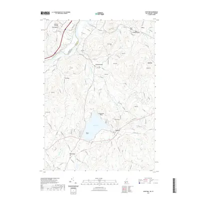
2021 Map of Spofford
USGS Topo · Published 2021About this map
The Connecticut River serves as the western boundary for this portion of Cheshire County, separating New Hampshire from Vermont near the landmark East Putney Brook Stone Arch Bridge. The landscape is defined by the high elevations of Pistareen Mtn and Hyland Hill, which overlook the expansive waters of Spofford Lake and its central Pierces Island. This region is a study in traditional New England settlement patterns, with established villages like Westmoreland and Chesterfield connected by a network of named brooks and rural roads. For those tracing local history, several small burial grounds including South Village Cem and North Cem are documented alongside specialized sites such as Camp Notre Dame and the Pilgrim's Home Airfield near East Westmoreland.
Find a feature on this map
118 named features on this map. Tap any name to fly to it.
Don’t see what you’re looking for? This feature index may not catch every label — zoom into the map to look around manually.
Map Details
Editions of this 2021 Spofford Map
This is the sole edition of this map. No revisions or reprints were ever made.
Other maps of this area

1891 · Brattleboro
USGS Topo · 1:62,500

1893 · Brattleboro
USGS Topo · 1:62,500

1898 · Keene
USGS Topo · 1:62,500

1927 · Bellows Falls
USGS Topo · 1:48,000

1930 · Saxtons River
USGS Topo · 1:48,000

1930 · Bellows Falls
USGS Topo · 1:62,500

1932 · Brattleboro
USGS Topo · 1:48,000

1932 · Keene
USGS Topo · 1:62,500

1933 · Saxtons River
USGS Topo · 1:62,500
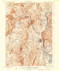
1935 · Brattleboro
USGS Topo · 1:62,500