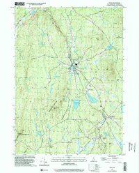
2024 Map of Spofford
USGS Topo · Published 2024About this map
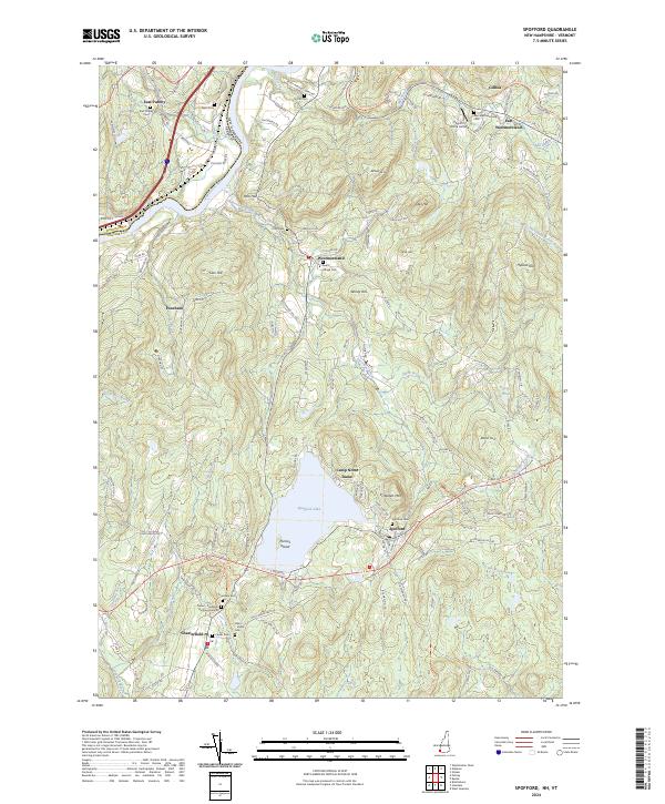
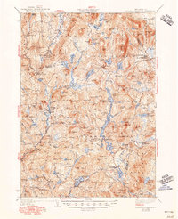
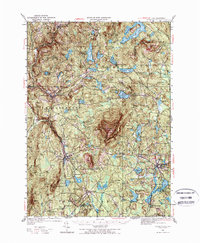
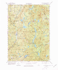
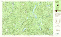
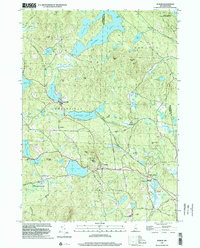
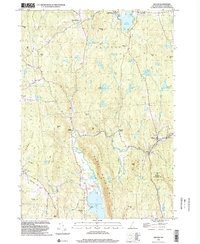
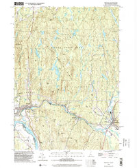
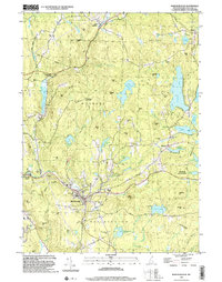
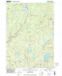
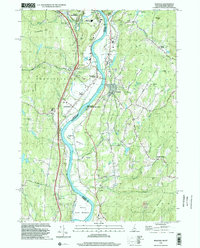
Spofford Lake anchors this part of New Hampshire, with Pierces Island sitting at its western edge and Camp Notre Dame along the northern shore. The surrounding landscape is defined by the hills of Pistareen Mtn and Bold Hill, while the Connecticut River forms the natural boundary between Cheshire County and Vermont. The map reveals a dense network of early roads and homestead tracks, such as Old Chesterfield Rd and Great Meadow Ferry Rd, which speak to the area's history of river crossings and upland farming.
Find a feature on this map
119 named features on this map. Tap any name to fly to it.
Don’t see what you’re looking for? This feature index may not catch every label — zoom into the map to look around manually.
Map Details
Editions of this 2024 Spofford Map
This is the sole edition of this map. No revisions or reprints were ever made.
Historical Maps of Poocham Through Time
31 maps found
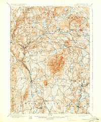
1898 Monadnock
Cheshire County, NH
1930 Lovewell Mountain
Cheshire County, NH
1936 Monadnock
Cheshire County, NH
1942 Lovewell Mountain
Cheshire County, NH
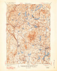
1949 Monadnock
Cheshire County, NH
1957 Lovewell Mountain
Cheshire County, NH
1984 Marlborough
Cheshire County, NH
1984 Monadnock Mountain
Cheshire County, NH
1984 Stoddard
Cheshire County, NH
1984 Winchester
Cheshire County, NH
1985 Walpole
Cheshire County, NH
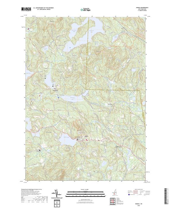
1998 Dublin
Cheshire County, NH
1998 Gilsum
Cheshire County, NH
1998 Hinsdale
Cheshire County, NH
1998 Marlborough
Cheshire County, NH
1998 Marlow
Cheshire County, NH
1998 Monadnock Mountain
Cheshire County, NH
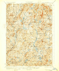
1998 Spofford
Cheshire County, NH
1998 Stoddard
Cheshire County, NH
1998 Troy
Cheshire County, NH
1998 Walpole
Cheshire County, NH
2024 Dublin
Cheshire County, NH
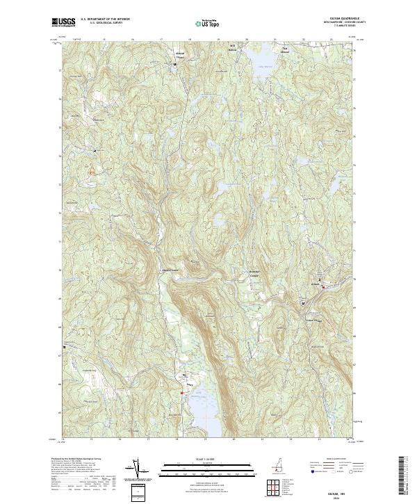
2024 Gilsum
Cheshire County, NH
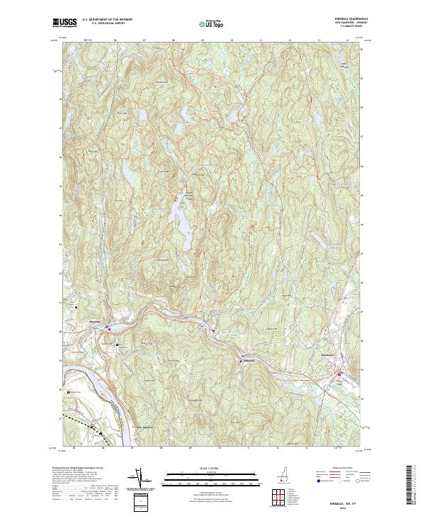
2024 Hinsdale
Cheshire County, NH
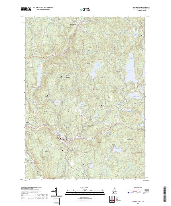
2024 Marlborough
Cheshire County, NH
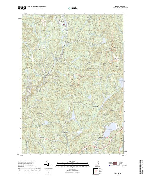
2024 Marlow
Cheshire County, NH
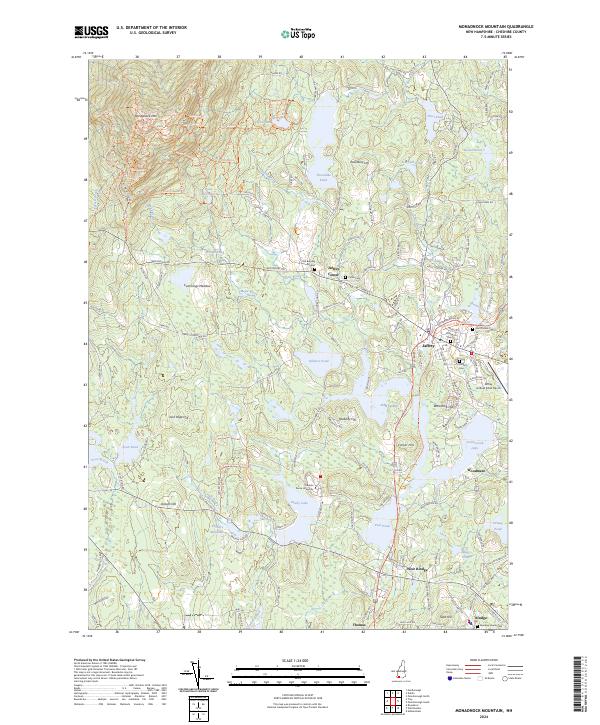
2024 Monadnock Mountain
Cheshire County, NH
2024 Spofford
Cheshire County, NH
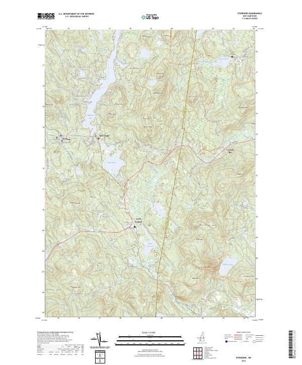
2024 Stoddard
Cheshire County, NH
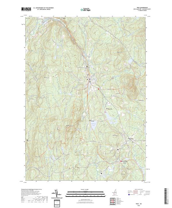
2024 Troy
Cheshire County, NH
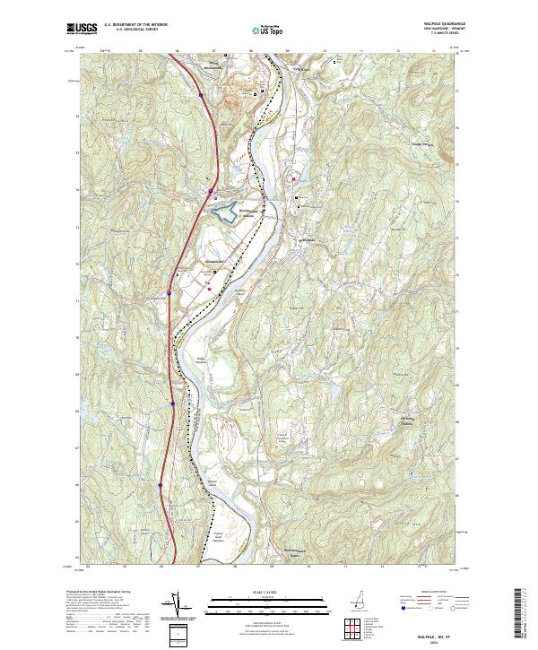
2024 Walpole
Cheshire County, NH