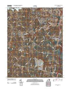
2011 Map of Spotsylvania
USGS Topo · Published 2011About this map
Spotsylvania Courthouse sits at the heart of this landscape, surrounded by a network of historic landmarks and watercourses. The local geography is defined by the three parallel river systems — the Ni River, Po River, and Ta River — which historically shaped the settlement patterns and agricultural development of this part of Virginia. The presence of the Confederate Cemetery, Zion Cemetery, and Travelers Rest Cemetery near Snell underscores the deep genealogical and historical roots tied to this ground.
Find a feature on this map
62 named features on this map. Tap any name to fly to it.
Don’t see what you’re looking for? This feature index may not catch every label — zoom into the map to look around manually.
Map Details
Editions of this 2011 Spotsylvania Map
This is the sole edition of this map. No revisions or reprints were ever made.
Other maps of this area

1887 · Spottsylvania
USGS Topo · 1:125,000

1889 · Fredericksburg
USGS Topo · 1:125,000

1892 · Fredericksburg
USGS Topo · 1:125,000

1892 · Spottsylvania
USGS Topo · 1:125,000

1894 · Fredericksburg
USGS Topo · 1:125,000
1926 · Stafford
USGS Topo · 1:62,500
1931 · Stafford
USGS Topo · 1:62,500
1942 · Woodford
USGS Topo · 1:31,680
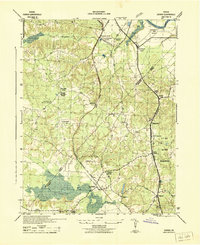
1942 · Guinea
USGS Topo · 1:31,680
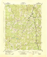
1942 · Ladysmith
USGS Topo · 1:31,680