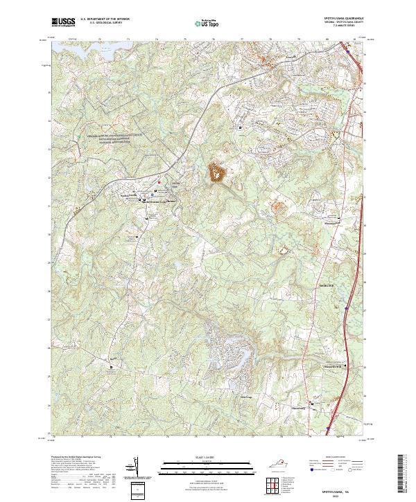
2022 Map of Spotsylvania
USGS Topo · Published 2022About this map
Fredericksburg and Spotsylvania County Battlefields Memorial National Military Park dominates the northwest quadrant of this region, preserving a landscape defined by civil conflict. The Spotsylvania Courthouse area remains a focal point for researchers, featuring the Spotsylvania County Courthouse and the Spotsylvania County Confederate Cem. The geography is intricately carved by the Ni River, Po River, and Ta River, which supported early industry at sites like Smiths Mill and Stanards Mill.
Find a feature on this map
41 named features on this map. Tap any name to fly to it.
Don’t see what you’re looking for? This feature index may not catch every label — zoom into the map to look around manually.
Map Details
Editions of this 2022 Spotsylvania Map
This is the sole edition of this map. No revisions or reprints were ever made.
Other maps of this area

1887 · Spottsylvania
USGS Topo · 1:125,000

1889 · Fredericksburg
USGS Topo · 1:125,000

1892 · Fredericksburg
USGS Topo · 1:125,000

1892 · Spottsylvania
USGS Topo · 1:125,000

1894 · Fredericksburg
USGS Topo · 1:125,000

1926 · Stafford
USGS Topo · 1:62,500

1931 · Stafford
USGS Topo · 1:62,500

1942 · Woodford
USGS Topo · 1:31,680

1942 · Guinea
USGS Topo · 1:31,680

1942 · Ladysmith
USGS Topo · 1:31,680