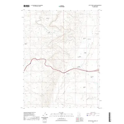
2020 Map of Spotted Wolf Canyon
USGS Topo · Published 2020About this map
The San Rafael River carves a winding path through this corner of Emery County, defining a landscape marked by dramatic geological formations and remote outposts like Camp Vinero. The river's influence is evident in the transition from the high elevations of Shadscale Mesa and W Shadscale Mesa to the riparian flats of Tidwell Bottoms and the narrow corridor of The Squeeze. This 2020 survey illustrates how modern infrastructure, including the Ranch Byp and the interstate corridor, navigates the natural obstacles of Spotted Wolf Canyon and the deep incisions of Black Dragon Wash. Local landmarks with descriptive names such as Jackass Benches, Swazys Leap, and Lower Black Box reflect the history of ranching and exploration in this arid territory. Water remains the primary shaper of the land, from the seasonal Buckmaster Draw to the critical source at Sulphur Spring.
Find a feature on this map
17 named features on this map. Tap any name to fly to it.
Don’t see what you’re looking for? This feature index may not catch every label — zoom into the map to look around manually.
Map Details
Editions of this 2020 Spotted Wolf Canyon Map
This is the sole edition of this map. No revisions or reprints were ever made.
Other maps of this area

1885 · San Rafael
USGS Topo · 1:250,000

1886 · Price River
USGS Topo · 1:250,000

1896 · Price River
USGS Topo · 1:250,000

1953 · Red Plateau SE
USGS Topo · 1:24,000

1953 · Tidwell 2 SW
USGS Topo · 1:24,000

1953 · Beckwith Peak SW
USGS Topo · 1:24,000

1953 · Tidwell 2 NW
USGS Topo · 1:24,000

1954 · Stinking Spring Creek 1 SE
USGS Topo · 1:24,000

1954 · Stinking Spring Creek 1 NE
USGS Topo · 1:24,000

1954 · Tidwell 2 SE
USGS Topo · 1:24,000