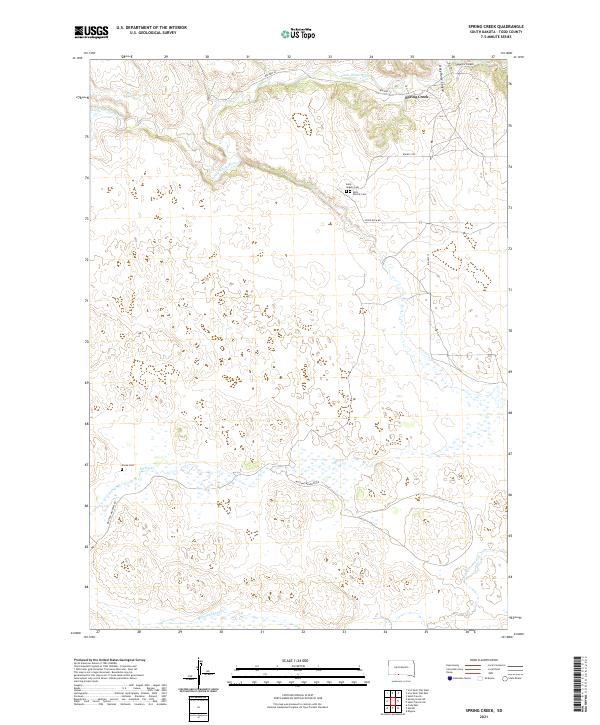
2021 Map of Spring Creek
USGS Topo · Published 2021About this map
The Little White River meanders across the northern section of this Todd County landscape, providing a focal point for the settlement of Spring Creek. This area of South Dakota is characterized by a high-plains hydrology, where the river and smaller streams like Coffee Cr and Spring Cr have carved distinct drainages such as Sawmill Canyon and Crazy Horse Canyon. In the southern portion of the sheet, Minnechaduza Cr flows through the township of T35N R32W.
Find a feature on this map
20 named features on this map. Tap any name to fly to it.
Don’t see what you’re looking for? This feature index may not catch every label — zoom into the map to look around manually.
Map Details
Editions of this 2021 Spring Creek Map
This is the sole edition of this map. No revisions or reprints were ever made.
Other maps of this area

1950 · Kilgore
USGS Topo · 1:62,500

1950 · Cody
USGS Topo · 1:62,500

1955 · Martin
USGS Topo · 1:250,000

1957 · Valentine
USGS Topo · 1:250,000

1958 · Martin
USGS Topo · 1:250,000

1959 · Valentine
USGS Topo · 1:250,000

1969 · Iron Shell Flat East
USGS Topo · 1:24,000

1969 · Spring Creek SW
USGS Topo · 1:24,000

1969 · Iron Shell Flat West
USGS Topo · 1:24,000

1969 · Spring Creek
USGS Topo · 1:24,000