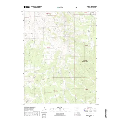
2019 Map of Spring Hill Creek
USGS Topo · Published 2019About this map
Gunnison National Forest defines the eastern expanse of this Saguache County terrain, where high-altitude parks and complex drainage systems meet. The landscape is characterized by prominent open spaces such as Soldiers Park and Long Park, which suggest the high-country meadow systems common to this part of the Rockies. A web of mountain streams, including Spring Hill Cr and Deer Beaver Cr, carves through the topography, while Black Ridge stands as a significant dividing feature in the southern portion of the sheet.
Find a feature on this map
25 named features on this map. Tap any name to fly to it.
Don’t see what you’re looking for? This feature index may not catch every label — zoom into the map to look around manually.
Map Details
Editions of this 2019 Spring Hill Creek Map
This is the sole edition of this map. No revisions or reprints were ever made.
Other maps of this area

1908 · Uncompahgre
USGS Topo · 1:125,000

1911 · Uncompahgre
USGS Topo · 1:125,000

1954 · Iris NW
USGS Topo · 1:24,000

1954 · Iola
USGS Topo · 1:24,000

1956 · Montrose
USGS Topo · 1:250,000

1959 · Montrose
USGS Topo · 1:250,000

1960 · Montrose
USGS Topo · 1:250,000

1962 · Rudolph Hill
USGS Topo · 1:24,000

1962 · Iris
USGS Topo · 1:24,000

1962 · Powderhorn
USGS Topo · 1:24,000