
1962 Map of Iris
USGS Topo · Published 1964About this map
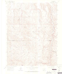
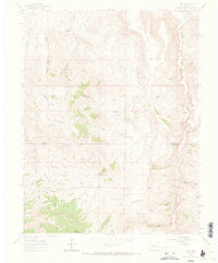
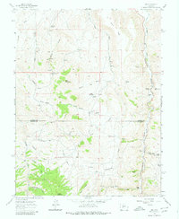
Iris and the nearby Denver City Mine sit at the center of this 1960s survey, illustrating the high-altitude mining and ranching economy along the boundary of Gunnison and Saguache Counties. The landscape is heavily marked by small-scale extraction and homesteading, with several scattered family sites including the Flick Homestead, Jones Homestead, and Post Homestead. Water management and transportation in this high-desert terrain are defined by the winding courses of Cochetopa Creek and numerous gulches such as Merry-go-round Gulch and Dutch Gulch. The map records a specific era of land use where isolated operations like the Lucky Strike Mine and Mineral Hill Mine are connected by a network of jeep trails and unimproved roads, with the Iris Cem serving as a primary genealogical landmark for the remote community.
Find a feature on this map
52 named features on this map. Tap any name to fly to it.
Don’t see what you’re looking for? This feature index may not catch every label — zoom into the map to look around manually.
Map Details
Editions of this 1962 Iris Map
4 editions found
Other maps of this area

1941 · Pitkin
USGS Topo · 1:62,500

1945 · Pitkin
USGS Topo · 1:62,500

1954 · Iris NW
USGS Topo · 1:24,000

1954 · Gunnison
USGS Topo · 1:24,000

1956 · Montrose
USGS Topo · 1:250,000

1959 · Montrose
USGS Topo · 1:250,000

1960 · Montrose
USGS Topo · 1:250,000

1962 · Houston Gulch
USGS Topo · 1:24,000

1962 · Razor Creek Dome
USGS Topo · 1:24,000
1962 · Spring Hill Creek
USGS Topo · 1:24,000