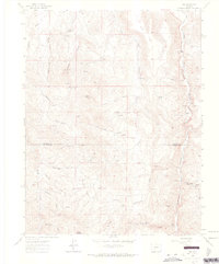
1962 Map of Iris
USGS Topo · Published 1964About this map
Iris and the surrounding mining district near the Gunnison and Saguache county line are characterized by a dense concentration of early mineral claims and homesteads. The landscape is defined by the steep cuts of Cochetopa Canyon and the winding course of Cochetopa Creek, where small settlements like Sillsville and the Kreuger Ranch once stood. High-altitude mining operations are scattered across the terrain, from the Denver City Mine near the townsite to the Maple Leaf Mine and Hathaway Mine further south.
Find a feature on this map
54 named features on this map. Tap any name to fly to it.
Don’t see what you’re looking for? This feature index may not catch every label — zoom into the map to look around manually.
Map Details
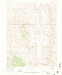
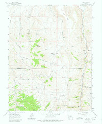
Editions of this 1962 Iris Map
4 editions found
Other maps of this area

1941 · Pitkin
USGS Topo · 1:62,500

1945 · Pitkin
USGS Topo · 1:62,500

1954 · Iris NW
USGS Topo · 1:24,000

1954 · Gunnison
USGS Topo · 1:24,000

1956 · Montrose
USGS Topo · 1:250,000

1959 · Montrose
USGS Topo · 1:250,000

1960 · Montrose
USGS Topo · 1:250,000

1962 · Iris
USGS Topo · 1:24,000

1962 · Houston Gulch
USGS Topo · 1:24,000

1962 · Razor Creek Dome
USGS Topo · 1:24,000