
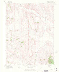
1962 Map of Houston Gulch
USGS Topo · Published 1964About this map
Parlin Flats and the winding course of Tomichi Creek dominate the northern landscape of this early 1960s survey along the Gunnison Co Saguache Co line. The map captures a high-country environment where ranching and early transportation infrastructure intersected, evidenced by the presence of Green Mesa Ranch and Table Top Ranch alongside an Old Railroad Grade. This decommissioned rail line, following the natural contours of the creek, reflects the shift in Colorado's mountain logistics during the mid-20th century.
Find a feature on this map
26 named features on this map. Tap any name to fly to it.
Don’t see what you’re looking for? This feature index may not catch every label — zoom into the map to look around manually.
Map Details
Editions of this 1962 Houston Gulch Map
2 editions found
Other maps of this area

1941 · Pitkin
USGS Topo · 1:62,500

1945 · Pitkin
USGS Topo · 1:62,500

1956 · Montrose
USGS Topo · 1:250,000

1959 · Montrose
USGS Topo · 1:250,000

1960 · Montrose
USGS Topo · 1:250,000

1962 · Doyleville
USGS Topo · 1:24,000

1962 · West Baldy
USGS Topo · 1:24,000

1962 · Iris
USGS Topo · 1:24,000

1962 · Razor Creek Dome
USGS Topo · 1:24,000
1962 · Sawtooth Mountain
USGS Topo · 1:24,000