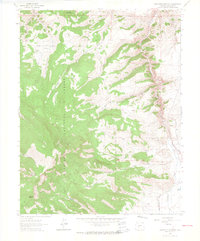
1962 Map of Sawtooth Mountain
USGS Topo · Published 1964About this map
Gunnison National Forest dominates this high-altitude landscape in the early 1960s, defined by the prominent peak of Sawtooth Mountain and the steep descent into Cochetopa Canyon. This map captures a rugged territory where resource extraction and remote settlement patterns are etched into the terrain. The presence of the Mercury Mine near Cochetopa Creek points to the area's geological value, while names like Homestead Gulch and Townsite Gulch suggest a history of early mountain habitation that had transitioned into a landscape of trails and seasonal use by the time of this survey. The terrain is further characterized by large mountain meadows or parks, including Lick Creek Park, Muddy Park, and Bead Park, which traditionally served as vital grazing grounds or transition zones between the high peaks like Agency Peak and the creek drainages below.
Find a feature on this map
27 named features on this map. Tap any name to fly to it.
Don’t see what you’re looking for? This feature index may not catch every label — zoom into the map to look around manually.
Map Details
Editions of this 1962 Sawtooth Mountain Map
4 editions found
Other maps of this area

1954 · Iris NW
USGS Topo · 1:24,000

1956 · Montrose
USGS Topo · 1:250,000

1959 · Montrose
USGS Topo · 1:250,000

1960 · Montrose
USGS Topo · 1:250,000

1962 · Iris
USGS Topo · 1:24,000

1962 · Houston Gulch
USGS Topo · 1:24,000

1962 · Razor Creek Dome
USGS Topo · 1:24,000
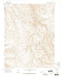
1962 · Spring Hill Creek
USGS Topo · 1:24,000
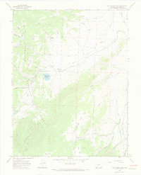
1965 · Cold Spring Park
USGS Topo · 1:24,000
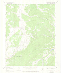
1965 · Rock Creek Park
USGS Topo · 1:24,000