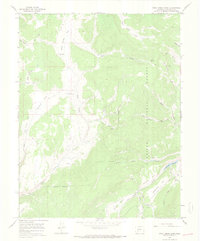
1965 Map of Rock Creek Park
USGS Topo · Published 1968About this map
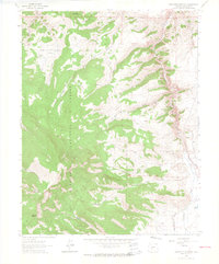
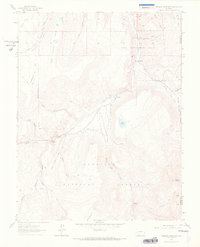
Rock Creek Cow Camp and the high-elevation pastures of the Gunnison National Forest define this mid-1960s landscape in Saguache County. The map documents a rugged interior crisscrossed by an extensive network of jeep trails, facilitating movement through the dense drainages of Rock Creek and Beaver Creek. Human impact on the land is represented by the remote Section School and the McDonough Reservoir tucked into the southeastern corner.
Find a feature on this map
28 named features on this map. Tap any name to fly to it.
Don’t see what you’re looking for? This feature index may not catch every label — zoom into the map to look around manually.
Map Details
Editions of this 1965 Rock Creek Park Map
3 editions found
Other maps of this area

1908 · Uncompahgre
USGS Topo · 1:125,000

1911 · Uncompahgre
USGS Topo · 1:125,000

1956 · Montrose
USGS Topo · 1:250,000

1959 · Montrose
USGS Topo · 1:250,000

1960 · Montrose
USGS Topo · 1:250,000

1962 · Rudolph Hill
USGS Topo · 1:24,000

1962 · Powderhorn
USGS Topo · 1:24,000
1962 · Spring Hill Creek
USGS Topo · 1:24,000
1962 · Sawtooth Mountain
USGS Topo · 1:24,000
1963 · Mineral Mountain
USGS Topo · 1:24,000