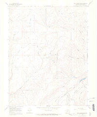
1965 Map of Rock Creek Park
USGS Topo · Published 1968About this map
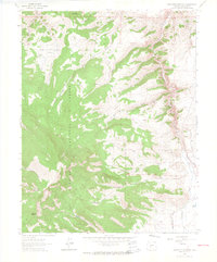
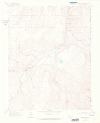
Gunnison National Forest dominates this landscape in Saguache County, where the 1960s terrain is defined by a dense network of high-elevation drainages and primitive transit. The central presence of Rock Creek Cow Camp and a nearby Corral point to the area's continued use for seasonal livestock grazing, a traditional use of the forest lands. A complex system of water resources is evident, from the McDonough Reservoir to numerous named springs like East Spring.
Find a feature on this map
28 named features on this map. Tap any name to fly to it.
Don’t see what you’re looking for? This feature index may not catch every label — zoom into the map to look around manually.
Map Details
Editions of this 1965 Rock Creek Park Map
3 editions found
Other maps of this area

1908 · Uncompahgre
USGS Topo · 1:125,000

1911 · Uncompahgre
USGS Topo · 1:125,000

1956 · Montrose
USGS Topo · 1:250,000

1959 · Montrose
USGS Topo · 1:250,000

1960 · Montrose
USGS Topo · 1:250,000

1962 · Rudolph Hill
USGS Topo · 1:24,000

1962 · Powderhorn
USGS Topo · 1:24,000
1962 · Spring Hill Creek
USGS Topo · 1:24,000
1962 · Sawtooth Mountain
USGS Topo · 1:24,000
1963 · Mineral Mountain
USGS Topo · 1:24,000