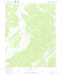
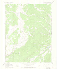
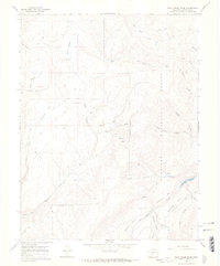
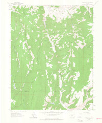
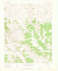
1965 Map of Rock Creek Park
USGS Topo · Published 1979About this map
Gunnison National Forest land dominates this 1960s terrain in Saguache County, where the landscape is defined by the high-elevation drainage systems of Rock Creek and Beaver Creek. The map records a working landscape of the mid-20th century, notably featuring the Rock Creek Cow Camp and a simple Corral, indicating the seasonal cattle grazing patterns common to this part of the Colorado high country.
Find a feature on this map
27 named features on this map. Tap any name to fly to it.
Don’t see what you’re looking for? This feature index may not catch every label — zoom into the map to look around manually.
Map Details
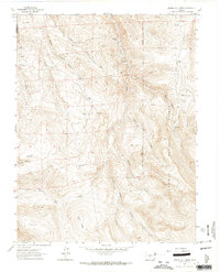
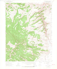
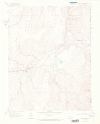
Editions of this 1965 Rock Creek Park Map
3 editions found
Other maps of this area

1908 · Uncompahgre
USGS Topo · 1:125,000

1911 · Uncompahgre
USGS Topo · 1:125,000

1956 · Montrose
USGS Topo · 1:250,000

1959 · Montrose
USGS Topo · 1:250,000

1960 · Montrose
USGS Topo · 1:250,000
1962 · Rudolph Hill
USGS Topo · 1:24,000
1962 · Powderhorn
USGS Topo · 1:24,000
1962 · Spring Hill Creek
USGS Topo · 1:24,000
1962 · Sawtooth Mountain
USGS Topo · 1:24,000
1963 · Mineral Mountain
USGS Topo · 1:24,000