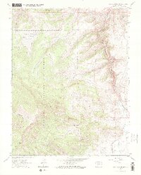
1962 Map of Sawtooth Mountain
USGS Topo · Published 1973About this map
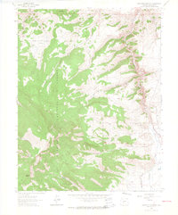
Gunnison National Forest dominates this high-altitude landscape in Saguache County, where the topography is defined by the steep drainage systems of Cochetopa Creek and its many tributaries. The area's industrial history is marked by extractive operations such as the Los Ocho Mine and Mercury Mine, situated near the dramatic narrowing of Cochetopa Canyon. This 1962 survey reveals a network of land-use indicators, from Homestead Gulch to the suggestive Townsite Gulch, illustrating the era's transition between early resource settlement and modern forest management.
Find a feature on this map
27 named features on this map. Tap any name to fly to it.
Don’t see what you’re looking for? This feature index may not catch every label — zoom into the map to look around manually.
Map Details
Editions of this 1962 Sawtooth Mountain Map
4 editions found
Other maps of this area

1954 · Iris NW
USGS Topo · 1:24,000

1956 · Montrose
USGS Topo · 1:250,000

1959 · Montrose
USGS Topo · 1:250,000

1960 · Montrose
USGS Topo · 1:250,000

1962 · Iris
USGS Topo · 1:24,000

1962 · Houston Gulch
USGS Topo · 1:24,000

1962 · Razor Creek Dome
USGS Topo · 1:24,000
1962 · Spring Hill Creek
USGS Topo · 1:24,000
1962 · Sawtooth Mountain
USGS Topo · 1:24,000
1965 · Cold Spring Park
USGS Topo · 1:24,000