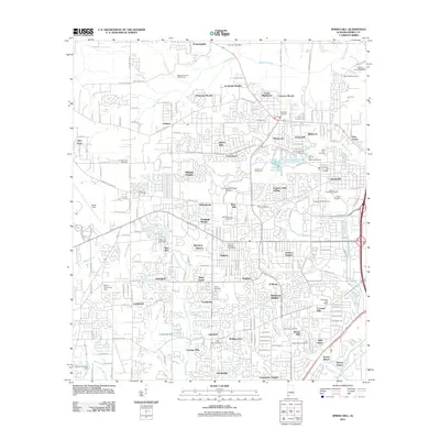
2011 Map of Spring Hill
USGS Topo · Published 2011About this map
Spring Hill stands as a focal point of West Mobile, characterized by the prominent campuses of Spring Hill College Byrne and the University of South Alabama. The landscape is a dense suburban weave of mid-century and modern subdivisions, from Acropolis Heights in the north to Canterbury Heights in the south. This area is notably rich in memorial sites, including the Old Spring Hill Cemetery, the Jesuit Cemetery, and the Newell Family Cemetery, reflecting the long-established residential character of the community.
Find a feature on this map
220 named features on this map. Tap any name to fly to it.
Don’t see what you’re looking for? This feature index may not catch every label — zoom into the map to look around manually.
Map Details
Editions of this 2011 Spring Hill Map
This is the sole edition of this map. No revisions or reprints were ever made.
Other maps of this area

1922 · Mobile
USGS Topo · 1:62,500

1940 · Hollingers Island
USGS Topo · 1:31,680

1940 · Mobile
USGS Topo · 1:31,680

1940 · Mobile
USGS Topo · 1:62,500

1941 · Chickasaw
USGS Topo · 1:31,680

1941 · Hurley
USGS Topo · 1:62,500

1941 · Creola
USGS Topo · 1:62,500

1942 · Kushla
USGS Topo · 1:31,680

1942 · Theodore
USGS Topo · 1:31,680

1942 · Wilmer
USGS Topo · 1:62,500