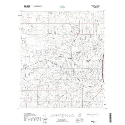
2018 Map of Spring Hill
USGS Topo · Published 2018About this map
The western suburbs of Mobile transition from the dense residential developments of Spring Hill and Country Club Village into the sprawling institutional campus of the Univ of South Alabama. This 2018 survey documents a modern landscape deeply connected to its hydrological history, where Threemile Creek feeds the Bienville Reservoir and numerous smaller branches like Eslava Cr and Twelvemile Cr snake through established neighborhoods. For genealogists, the map is particularly detailed, identifying several smaller burial grounds such as the Sand Town Cem, Wolf Ridge Cem, and the Newell Family Cem on the northern periphery near Eightmile Cr. The western edge is dominated by the Mobile Regional Airport, marking the city's modern westward expansion along the historic Old Shell Rd and Government St Co Rd 56 corridors.
Find a feature on this map
66 named features on this map. Tap any name to fly to it.
Don’t see what you’re looking for? This feature index may not catch every label — zoom into the map to look around manually.
Map Details
Editions of this 2018 Spring Hill Map
This is the sole edition of this map. No revisions or reprints were ever made.
Other maps of this area

1922 · Mobile
USGS Topo · 1:62,500

1940 · Hollingers Island
USGS Topo · 1:31,680

1940 · Mobile
USGS Topo · 1:31,680

1940 · Mobile
USGS Topo · 1:62,500

1941 · Chickasaw
USGS Topo · 1:31,680

1941 · Hurley
USGS Topo · 1:62,500

1941 · Creola
USGS Topo · 1:62,500

1942 · Kushla
USGS Topo · 1:31,680

1942 · Theodore
USGS Topo · 1:31,680

1942 · Wilmer
USGS Topo · 1:62,500