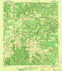
1943 Map of Spring Hill
USGS Topo · Published 1943About this map
Spring Hill and its surrounding uplands west of Mobile appear here as they were surveyed just before World War II. The landscape is a mix of educational landmarks like Spring Hill College and essential municipal infrastructure, including the Bienville Pumping Sta and the Mobile Waterworks. Small agrarian and suburban pockets such as Wheelerville, Orchard, and Cottage Hill are connected by significant early thoroughfares like the Old Spanish Trail and Howells Ferry Road. Numerous community anchors are documented, from Vincent Chapel to the County Sanitarium, providing a window into the social and civic geography of Mobile County. The presence of the Mobile Airport and the Gulf Mobile and Ohio railroad corridor highlights the area's role as a growing transportation hub during this era.
Find a feature on this map
45 named features on this map. Tap any name to fly to it.
Don’t see what you’re looking for? This feature index may not catch every label — zoom into the map to look around manually.
Map Details
Editions of this 1943 Spring Hill Map
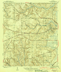
2 editions found
Other maps of this area

1922 · Mobile
USGS Topo · 1:62,500

1940 · Hollingers Island
USGS Topo · 1:31,680

1940 · Mobile
USGS Topo · 1:31,680

1940 · Mobile
USGS Topo · 1:62,500

1941 · Chickasaw
USGS Topo · 1:31,680

1941 · Hurley
USGS Topo · 1:62,500

1941 · Creola
USGS Topo · 1:62,500

1942 · Kushla
USGS Topo · 1:31,680

1942 · Theodore
USGS Topo · 1:31,680

1942 · Wilmer
USGS Topo · 1:62,500