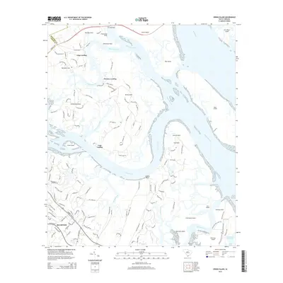
2014 Map of Spring Island
USGS Topo · Published 2014About this map
Spring Island and the surrounding Sea Islands define this coastal landscape where the Chechessee River and Colleton River converge toward the Broad River. The intricate network of tidal waterways and marshlands is anchored by several named islands, including Callawassie Island and the nature-oriented Pinckney Island. Historically significant landings like Fripp Landing, Pinckney Landing, and Copp Landing dot the riverbanks, marking the traditional points of access for this maritime community. To the south, the town of Bluffton sits near the winding banks of Sawmill Creek, showing its modern residential layout. The map also highlights the transit infrastructure of the Lowcountry, from the G G Dowling Bridge crossing toward Lemon Island to the commercial significance of the Intracoastal Waterway running through Skull Creek.
Find a feature on this map
138 named features on this map. Tap any name to fly to it.
Don’t see what you’re looking for? This feature index may not catch every label — zoom into the map to look around manually.
Map Details
Editions of this 2014 Spring Island Map
This is the sole edition of this map. No revisions or reprints were ever made.
Other maps of this area

1920 · Okatie
USGS Topo · 1:62,500

1920 · Hilton Head
USGS Topo · 1:62,500

1920 · Bluffton
USGS Topo · 1:62,500

1942 · Okatie
USGS Topo · 1:62,500

1944 · Fort Fremont
USGS Topo · 1:62,500

1945 · Bluffton
USGS Topo · 1:62,500

1945 · Hilton Head
USGS Topo · 1:62,500

1947 · Savannah
USGS Topo · 1:250,000

1948 · Savannah
USGS Topo · 1:250,000
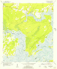
1955 · Pritchardville
USGS Topo · 1:24,000