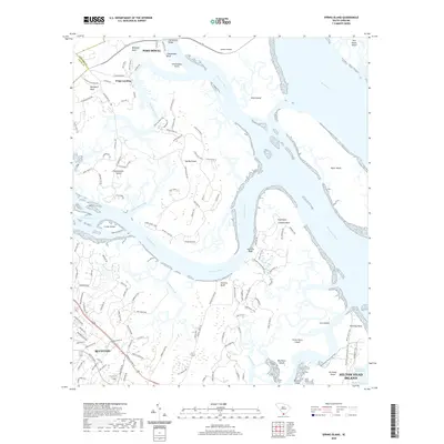
2020 Map of Spring Island
USGS Topo · Published 2020About this map
Bluffton and the northern reaches of Hilton Head Island anchor this modern topographical study of the South Carolina Lowcountry. The landscape is defined by an intricate network of tidal waterways, where the Colleton River and Chechessee River converge near Rose Island and Daws Island. This area illustrates the contemporary balance between residential growth and the preserved coastal environment, particularly on Spring Island and Callawassie Island, which are characterized by winding plantation roads and marshy inlets.
Find a feature on this map
130 named features on this map. Tap any name to fly to it.
Don’t see what you’re looking for? This feature index may not catch every label — zoom into the map to look around manually.
Map Details
Editions of this 2020 Spring Island Map
This is the sole edition of this map. No revisions or reprints were ever made.
Other maps of this area

1920 · Okatie
USGS Topo · 1:62,500

1920 · Hilton Head
USGS Topo · 1:62,500

1920 · Bluffton
USGS Topo · 1:62,500

1942 · Okatie
USGS Topo · 1:62,500

1944 · Fort Fremont
USGS Topo · 1:62,500

1945 · Bluffton
USGS Topo · 1:62,500

1945 · Hilton Head
USGS Topo · 1:62,500

1947 · Savannah
USGS Topo · 1:250,000

1948 · Savannah
USGS Topo · 1:250,000
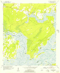
1955 · Pritchardville
USGS Topo · 1:24,000