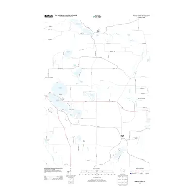
2013 Map of Spring Lake
USGS Topo · Published 2013About this map
Glacial topography and numerous kettle lakes define this portion of Waushara County during the early 21st century. The settlement of Mount Morris sits in the north, overshadowed by the prominent Mt Morris landmark and the waters of Mount Morris Lake 8. The landscape is a network of small, specialized aviation sites and recreational grounds, including Plantation Pine Airport and the expansive Camp Lucerne facility on the shores of Lake Lucerne.
Find a feature on this map
90 named features on this map. Tap any name to fly to it.
Don’t see what you’re looking for? This feature index may not catch every label — zoom into the map to look around manually.
Map Details
Editions of this 2013 Spring Lake Map
This is the sole edition of this map. No revisions or reprints were ever made.
Other maps of this area

1915 · Neshkoro
USGS Topo · 1:48,000

1918 · Neshkoro
USGS Topo · 1:62,500

1955 · Green Bay
USGS Topo · 1:250,000

1957 · Madison
USGS Topo · 1:250,000

1959 · Wautoma
USGS Topo · 1:48,000

1960 · Madison
USGS Topo · 1:250,000

1961 · Redgranite
USGS Topo · 1:62,500

1961 · Montello
USGS Topo · 1:62,500

1961 · Saxeville
USGS Topo · 1:24,000

1961 · Wild Rose
USGS Topo · 1:24,000