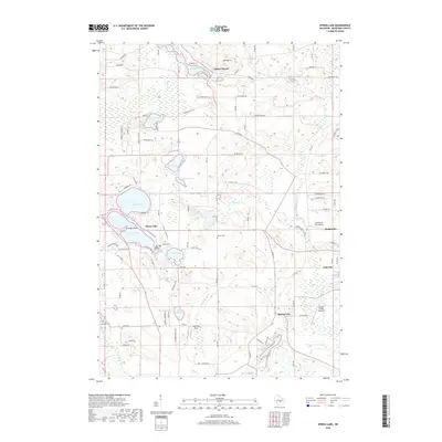
2018 Map of Spring Lake
USGS Topo · Published 2018About this map
Silver Lake and Irogami Lake anchor this recreational and residential landscape in Waushara County, where numerous glacial water bodies define the local geography. The area around Chicago Point and Fox Tail Point shows a dense network of lakeside developments, contrasting with the more rural reaches near Spring Lake to the southeast. In the northern section, Mt Morris rises above Lake Morris and Little Lake, while the eastern margin is marked by the villages of Lohrville and Redgranite.
Find a feature on this map
59 named features on this map. Tap any name to fly to it.
Don’t see what you’re looking for? This feature index may not catch every label — zoom into the map to look around manually.
Map Details
Editions of this 2018 Spring Lake Map
This is the sole edition of this map. No revisions or reprints were ever made.
Other maps of this area

1915 · Neshkoro
USGS Topo · 1:48,000

1918 · Neshkoro
USGS Topo · 1:62,500

1955 · Green Bay
USGS Topo · 1:250,000

1957 · Madison
USGS Topo · 1:250,000

1959 · Wautoma
USGS Topo · 1:48,000

1960 · Madison
USGS Topo · 1:250,000

1961 · Redgranite
USGS Topo · 1:62,500

1961 · Montello
USGS Topo · 1:62,500

1961 · Saxeville
USGS Topo · 1:24,000

1961 · Wild Rose
USGS Topo · 1:24,000