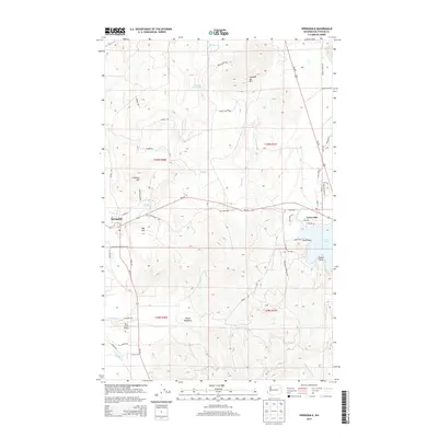
2014 Map of Springdale
USGS Topo · Published 2014About this map
Springdale and the northwestern shores of Loon Lake define the settlement pattern of this Stevens County landscape. The town of Springdale sits at the western edge, where Sheep Cr and drainage from Limekiln Hill meet. In the eastern portion of the map, the shoreline of Loon Lake is developed with residential access via N Shore Dr and Evan Rd, featuring distinctive landmarks like Tracy Point and Sliver Point.
Find a feature on this map
53 named features on this map. Tap any name to fly to it.
Don’t see what you’re looking for? This feature index may not catch every label — zoom into the map to look around manually.
Map Details
Editions of this 2014 Springdale Map
This is the sole edition of this map. No revisions or reprints were ever made.
Other maps of this area

1927 · Chewelah
USGS Topo · 1:125,000

1930 · Chewelah
USGS Topo · 1:125,000

1944 · Clayton
USGS Topo · 1:62,500

1944 · Wellpinit
USGS Topo · 1:62,500

1950 · Clayton
USGS Topo · 1:62,500

1953 · Wellpinit
USGS Topo · 1:62,500

1955 · Spokane
USGS Topo · 1:250,000

1958 · Spokane
USGS Topo · 1:250,000

1958 · Sandpoint
USGS Topo · 1:250,000

1963 · Sandpoint
USGS Topo · 1:250,000