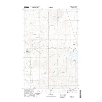
2017 Map of Springdale
USGS Topo · Published 2017About this map
Springdale serves as a central hub in this landscape of southern Stevens County, where the valley floor transitions into the significant elevations of Jumpoff Joe Mtn and Limekiln Hill. The settlement pattern follows the drainage of Sheep Cr and Swamp Cr, with the township and range lines of the Public Land Survey System creating a distinct grid over the undulating terrain. To the east, the shoreline of Loon Lake is a focal point of development, featuring named locations such as Tracy Point and Silver Point. This 2017 edition records a mix of agricultural and recreation-oriented land use, from the open expanses of Ahren Meadows to the specialized infrastructure of the Pine Bluff Airport. The presence of roads like Old Springdale Rd and Old Stage Way alongside modern highways illustrates the evolution of travel through this corridor between the Columbia River and the Idaho border.
Find a feature on this map
63 named features on this map. Tap any name to fly to it.
Don’t see what you’re looking for? This feature index may not catch every label — zoom into the map to look around manually.
Map Details
Editions of this 2017 Springdale Map
This is the sole edition of this map. No revisions or reprints were ever made.
Other maps of this area

1927 · Chewelah
USGS Topo · 1:125,000

1930 · Chewelah
USGS Topo · 1:125,000

1944 · Clayton
USGS Topo · 1:62,500

1944 · Wellpinit
USGS Topo · 1:62,500

1950 · Clayton
USGS Topo · 1:62,500

1953 · Wellpinit
USGS Topo · 1:62,500

1955 · Spokane
USGS Topo · 1:250,000

1958 · Spokane
USGS Topo · 1:250,000

1958 · Sandpoint
USGS Topo · 1:250,000

1963 · Sandpoint
USGS Topo · 1:250,000