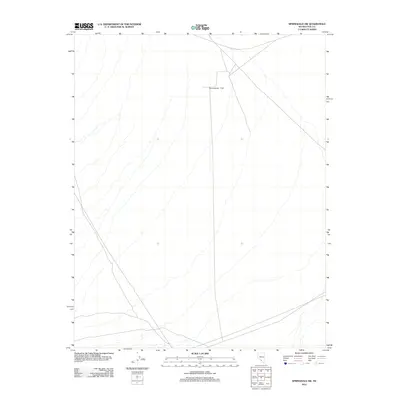
2012 Map of Springdale SW
USGS Topo · Published 2012About this map
Sarcobatus Flat dominates this desert landscape in the northern Mojave region of Nye County. This 2012 survey captures a remote basin defined by its arid character and sparse human infrastructure. Crisscrossed by primitive roads and 4WD tracks, the area serves as a transit corridor within the vast basin-and-range topography typical of southern Nevada. The map details the drainage patterns and subtle elevation changes across the alkali flat, providing a clear record of the region's physical geography before more modern developments or land-use changes. It is an essential document for those studying the hydrology and isolation of the Great Basin's southern reaches.
Find a feature on this map
1 named feature on this map. Tap any name to fly to it.
Don’t see what you’re looking for? This feature index may not catch every label — zoom into the map to look around manually.
Map Details
Editions of this 2012 Springdale SW Map
This is the sole edition of this map. No revisions or reprints were ever made.
Other maps of this area

1908 · Kawich
USGS Topo · 1:250,000

1908 · Lida
USGS Topo · 1:250,000

1908 · Furnace Creek
USGS Topo · 1:250,000

1908 · Ballarat
USGS Topo · 1:250,000

1910 · Furnace Creek
USGS Topo · 1:250,000

1913 · Lida
USGS Topo · 1:250,000

1913 · Ballarat
USGS Topo · 1:250,000

1942 · Tolicha Peak
USGS Topo · 1:125,000

1942 · Bullfrog
USGS Topo · 1:125,000

1948 · Death Valley
USGS Topo · 1:250,000