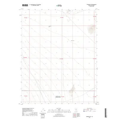
2018 Map of Springdale SW
USGS Topo · Published 2018About this map
Death Valley National Park extends into the southern reaches of this Nye County landscape, where the extreme arid environment of the Mojave Desert meets the high desert flats of Nevada. The topography is dominated by the broad, open expanse of Sarcobatus Flat, a characteristic basin formation that defines the local geography. Rising in the northern section, Coba Mtn provides a significant vertical landmark against the lower valley floors. This 2018 survey documents a largely undeveloped wilderness, preserving the natural drainage patterns and topographical contours of a region primarily defined by its environmental extremes and federal protected status. The absence of significant human infrastructure highlights the primitive character of the terrain at the edge of one of America's most famous national parks.
Find a feature on this map
13 named features on this map. Tap any name to fly to it.
Don’t see what you’re looking for? This feature index may not catch every label — zoom into the map to look around manually.
Map Details
Editions of this 2018 Springdale SW Map
This is the sole edition of this map. No revisions or reprints were ever made.
Other maps of this area

1908 · Kawich
USGS Topo · 1:250,000

1908 · Lida
USGS Topo · 1:250,000

1908 · Furnace Creek
USGS Topo · 1:250,000

1908 · Ballarat
USGS Topo · 1:250,000

1910 · Furnace Creek
USGS Topo · 1:250,000

1913 · Lida
USGS Topo · 1:250,000

1913 · Ballarat
USGS Topo · 1:250,000

1942 · Tolicha Peak
USGS Topo · 1:125,000

1942 · Bullfrog
USGS Topo · 1:125,000

1948 · Death Valley
USGS Topo · 1:250,000