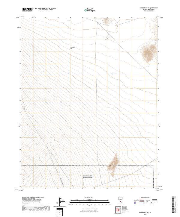
2021 Map of Springdale SW
USGS Topo · Published 2021About this map
Death Valley National Park occupies the southern portion of this high desert landscape, where the northern reaches of the Mojave Desert meet the Great Basin. The terrain is dominated by the broad expanse of Sarcobatus Flat, an alkaline basin surrounded by shifting contour lines that indicate the subtle drainage patterns of the region. Standing as a prominent landmark in the north is Cobo Mtn, providing a stark contrast to the surrounding desert plains. Of significant interest to local historians is the Old Railroad Grade Road, which cuts diagonally across the southwestern corner. This linear feature follows the path of former rail infrastructure that once served the remote mining districts of Nye County, offering a tangible link to the early industrial transport networks of the Nevada desert.
Find a feature on this map
14 named features on this map. Tap any name to fly to it.
Don’t see what you’re looking for? This feature index may not catch every label — zoom into the map to look around manually.
Map Details
Editions of this 2021 Springdale SW Map
This is the sole edition of this map. No revisions or reprints were ever made.
Other maps of this area

1908 · Kawich
USGS Topo · 1:250,000

1908 · Lida
USGS Topo · 1:250,000

1908 · Furnace Creek
USGS Topo · 1:250,000

1908 · Ballarat
USGS Topo · 1:250,000

1910 · Furnace Creek
USGS Topo · 1:250,000

1913 · Lida
USGS Topo · 1:250,000

1913 · Ballarat
USGS Topo · 1:250,000

1942 · Tolicha Peak
USGS Topo · 1:125,000

1942 · Bullfrog
USGS Topo · 1:125,000

1948 · Death Valley
USGS Topo · 1:250,000