Loading...
Loading map...2024 Map of Springfield
USGS Topo · Published 2024About this map
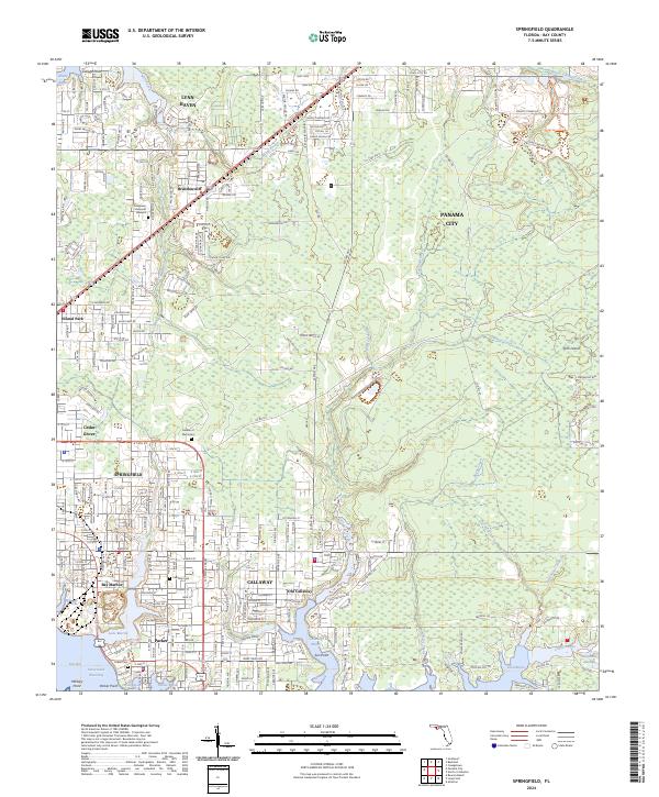
Springfield and its neighboring communities of Callaway, Parker, and Lynn Haven are shown in high detail at the edge of the East Bay shoreline. This modern survey illustrates the dense residential network of the Florida Panhandle, where urban development meets the intricate tidal fingers of Callaway Bayou and Parker Bayou. A distinct transition exists between the established neighborhoods of Hiland Park and the low-lying reaches of California Swamp to the east.
Find a feature on this map
123 named features on this map. Tap any name to fly to it.
Don’t see what you’re looking for? This feature index may not catch every label — zoom into the map to look around manually.
Map Details
Date Portrayed2024
Date Published2024
PublisherU.S. Geological Survey
Map TypeTopographic
Scale1:24000
Physical Dimensions24 x 29 inches
Editions of this 2024 Springfield Map
This is the sole edition of this map. No revisions or reprints were ever made.
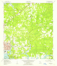
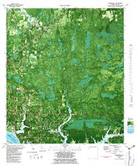
Historical Maps of Parker Through Time
3 maps found
Featured Locations
Source Details
SourceU.S. Geological Survey
CopyrightPublic Domain