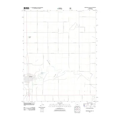
2011 Map of Springfield East
USGS Topo · Published 2011About this map
Springfield serves as the focal point of this high-plains landscape, where a rigid grid of rural roads meets the winding courses of the regional drainage systems. The town’s eastern edge transitions into a landscape carved by Bear Creek and its tributaries, revealing the geological character of the area through features like Wild Horse Canyon and Fern Canyon. These natural cuts provide a sharp contrast to the geometric precision of the surrounding section lines and county roads, such as County Rd 28 and County Road JJ. North of the town center, the Springfield Municipal Airport marks a modern utility in this agricultural expanse. The map illustrates how human settlement and transportation have adapted to the intermittent watercourses of the high prairie, including Cat Creek and the distant reach of Antelope Creek to the northeast.
Find a feature on this map
34 named features on this map. Tap any name to fly to it.
Don’t see what you’re looking for? This feature index may not catch every label — zoom into the map to look around manually.
Map Details
Editions of this 2011 Springfield East Map
This is the sole edition of this map. No revisions or reprints were ever made.
Other maps of this area

1891 · Albany
USGS Topo · 1:125,000

1891 · Springfield
USGS Topo · 1:125,000

1892 · Vilas
USGS Topo · 1:125,000

1892 · Two Butte
USGS Topo · 1:125,000

1893 · Two Butte
USGS Topo · 1:125,000

1893 · Springfield
USGS Topo · 1:125,000

1893 · Albany
USGS Topo · 1:125,000

1955 · La Junta
USGS Topo · 1:250,000

1958 · La Junta
USGS Topo · 1:250,000

1968 · La Junta
USGS Topo · 1:250,000