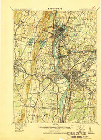
1920 Map of Springfield
USGS Topo · Published 1920About this map
The Connecticut River serves as the central artery for this industrial corridor, winding through a landscape of heavy rail and dense settlements just after the First World War. Developed by the Corps of Engineers, this military survey details the complex network of transportation hubs like East Farms Brick Yard Sta and the Springfield St RR that powered the region's economy. High-elevation landmarks such as Mt Tom and Loaf Mt overlook the valley, while smaller communities like Ireland Parish and Indian Orchard are shown in their early 20th-century footprints.
Find a feature on this map
97 named features on this map. Tap any name to fly to it.
Don’t see what you’re looking for? This feature index may not catch every label — zoom into the map to look around manually.
Map Details
Editions of this 1920 Springfield Map
This is the sole edition of this map. No revisions or reprints were ever made.
Other maps of this area

1885 · Northampton
USGS Topo · 1:62,500

1886 · Springfield
USGS Topo · 1:62,500

1886 · Chesterfield
USGS Topo · 1:62,500

1886 · Northampton
USGS Topo · 1:62,500

1887 · Palmer
USGS Topo · 1:62,500

1887 · Belchertown
USGS Topo · 1:62,500

1887 · Granville
USGS Topo · 1:62,500

1888 · Chesterfield
USGS Topo · 1:62,500

1889 · Springfield
USGS Topo · 1:62,500

1889 · Palmer
USGS Topo · 1:62,500