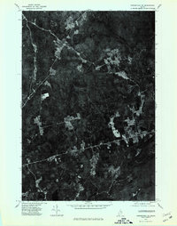
1975 Map of Springfield NE
USGS Topo · Published 1980About this map
Prentiss and the surrounding woodlands of northern Penobscot County are revealed in this 1975 aerial orthophotograph, providing a clear record of land use before modern development. The landscape is defined by the winding course of Mattakeunk Stream, which drains the timbered hills of this rural Maine interior. Small agricultural clearings and crossroads like Thompson Corners dot the terrain, while the southern portion of the map is anchored by the community of Carroll. Unlike traditional topographic maps, this imagery highlights the specific patterns of timber harvesting and reforestation occurring across the slopes of Bowers Mountain. It captures the exact footprint of forest roads and homesteads as they existed in the mid-1970s, serving as a primary source for understanding the region's mid-century logging and agricultural economy.
Find a feature on this map
5 named features on this map. Tap any name to fly to it.
Don’t see what you’re looking for? This feature index may not catch every label — zoom into the map to look around manually.
Map Details
Editions of this 1975 Springfield NE Map
This is the sole edition of this map. No revisions or reprints were ever made.
Other maps of this area

1931 · Springfield
USGS Topo · 1:48,000

1934 · Springfield
USGS Topo · 1:62,500

1940 · Danforth
USGS Topo · 1:62,500

1941 · Danforth
USGS Topo · 1:62,500

1941 · Scraggly Lake
USGS Topo · 1:62,500

1941 · Wytopitlock
USGS Topo · 1:62,500

1943 · Danforth
USGS Topo · 1:62,500

1943 · Wytopitlock
USGS Topo · 1:62,500

1944 · Scraggly Lake
USGS Topo · 1:62,500

1954 · Millinocket
USGS Topo · 1:250,000