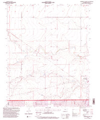
1996 Map of Springfield West
USGS Topo · Published 2000About this map
Springfield serves as the focal point of this late 20th-century survey of Baca County, where the plains of southeastern Colorado meet a network of seasonal watercourses. The town's edge is marked by essential local landmarks including the County Fairground, a Golf Course, and the Springfield Cem. Just south of the municipal limits, the landscape transitions into the Comanche National Grassland, reflecting a shift from agricultural land use to protected prairie. This area is characterized by the convergence of Bear Creek, Cat Creek, and Plum Creek, which carve subtle drainage patterns through the high plains. The presence of the Colorado State University Experiment Station highlights the region's importance to agricultural research and dryland farming techniques in an era of evolving land management. Scattered wells across the township indicate the reliance on groundwater for this semi-arid environment.
Find a feature on this map
16 named features on this map. Tap any name to fly to it.
Don’t see what you’re looking for? This feature index may not catch every label — zoom into the map to look around manually.
Map Details
Editions of this 1996 Springfield West Map
This is the sole edition of this map. No revisions or reprints were ever made.
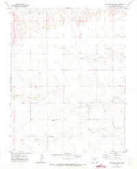
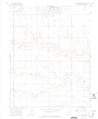
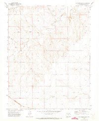
Other maps of this area

1891 · Springfield
USGS Topo · 1:125,000

1892 · Two Butte
USGS Topo · 1:125,000

1893 · Two Butte
USGS Topo · 1:125,000

1893 · Springfield
USGS Topo · 1:125,000

1955 · La Junta
USGS Topo · 1:250,000

1958 · La Junta
USGS Topo · 1:250,000

1968 · La Junta
USGS Topo · 1:250,000
1971 · Big Rock Grange
USGS Topo · 1:24,000
1971 · Horse Creek Springs
USGS Topo · 1:24,000
1971 · Mc Endree Ranch
USGS Topo · 1:24,000