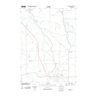
2010 Map of Springville
USGS Topo · Published 2010About this map
Eighteenmile Creek and its various tributaries, including Spooner Creek and Landon Brook, carve through this section of Erie County, defining a landscape of high ridges and narrow valleys. This 2010 survey shows the village of Springville at the southern edge, serving as a hub for the surrounding township of Concord. The area maintains a strong agricultural character, evidenced by the presence of specialty operations such as Halls Tree Farm, Wendels PoultryFarm, and Hills Christmas Tree Farm.
Find a feature on this map
69 named features on this map. Tap any name to fly to it.
Don’t see what you’re looking for? This feature index may not catch every label — zoom into the map to look around manually.
Map Details
Editions of this 2010 Springville Map
This is the sole edition of this map. No revisions or reprints were ever made.
Other maps of this area

1905 · Eden
USGS Topo · 1:62,500

1907 · Eden
USGS Topo · 1:62,500

1923 · Cattaraugus
USGS Topo · 1:62,500

1924 · Ellicottville
USGS Topo · 1:62,500

1925 · Springville
USGS Topo · 1:62,500

1938 · Cattaraugus
USGS Topo · 1:62,500

1941 · Cattaraugus
USGS Topo · 1:62,500

1941 · Ellicottville
USGS Topo · 1:62,500

1944 · Eden
USGS Topo · 1:62,500

1944 · Hamburg
USGS Topo · 1:31,680