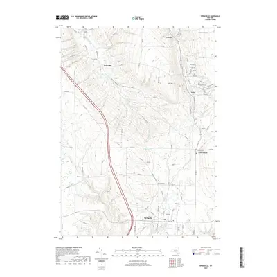
2019 Map of Springville
USGS Topo · Published 2019About this map
Springville anchors the southern portion of this region, where the street grid transitions into the surrounding rural landscape of Erie County. The village is surrounded by several smaller historic settlements such as Fowlerville, East Concord, and Concord, each maintaining its own distinct identity through local landmarks. For those researching local families, the map identifies numerous burial grounds including Maplewood Cem, Concord Cem, and the remote Sibley Cem located near Eighteenmile Creek.
Find a feature on this map
108 named features on this map. Tap any name to fly to it.
Don’t see what you’re looking for? This feature index may not catch every label — zoom into the map to look around manually.
Map Details
Editions of this 2019 Springville Map
This is the sole edition of this map. No revisions or reprints were ever made.
Other maps of this area

1905 · Eden
USGS Topo · 1:62,500

1907 · Eden
USGS Topo · 1:62,500

1923 · Cattaraugus
USGS Topo · 1:62,500

1924 · Ellicottville
USGS Topo · 1:62,500

1925 · Springville
USGS Topo · 1:62,500

1938 · Cattaraugus
USGS Topo · 1:62,500

1941 · Cattaraugus
USGS Topo · 1:62,500

1941 · Ellicottville
USGS Topo · 1:62,500

1944 · Eden
USGS Topo · 1:62,500

1944 · Hamburg
USGS Topo · 1:31,680