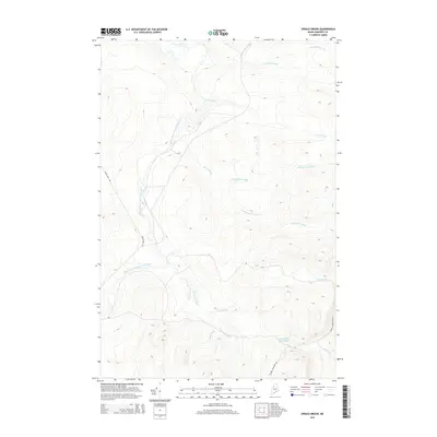
2014 Map of Spruce Brook
USGS Topo · Published 2014About this map
The Baker Branch Saint John River winds through the western portion of this Somerset County landscape, defining the local drainage system long utilized for timber transport and remote access. This 2014 survey documents a network of watercourses branching through the interior, including the convergence of N Br Spruce Brook and S Br Spruce Brook into the main stem of Spruce Brook. The presence of Loon Stream Deadwater in the southeast corner indicates the slow-moving, marshy terrain characteristic of the region’s lower elevations, while Russell Mountain Rd and Baker Lake Rd represent the primary unpaved arteries for navigating this stretch of the Maine woods. For researchers, the map provides a precise record of named tributaries such as Trout Brook, Reed Brook, and Post Brook as they existed in the early 21st century.
Find a feature on this map
16 named features on this map. Tap any name to fly to it.
Don’t see what you’re looking for? This feature index may not catch every label — zoom into the map to look around manually.
Map Details
Editions of this 2014 Spruce Brook Map
This is the sole edition of this map. No revisions or reprints were ever made.
Other maps of this area

1954 · Baker Lake
USGS Topo · 1:62,500

1954 · Caucomgomoc Lake
USGS Topo · 1:62,500

1954 · Allagash Lake
USGS Topo · 1:62,500

1954 · St. John Pond
USGS Topo · 1:62,500

1954 · Presque Isle
USGS Topo · 1:250,000

1958 · Presque Isle
USGS Topo · 1:250,000

1958 · Caucomgomoc Lake
USGS Topo · 1:62,500

1958 · Saint John Pond
USGS Topo · 1:62,500

1960 · Presque Isle
USGS Topo · 1:250,000

1961 · Allagash Lake
USGS Topo · 1:62,500