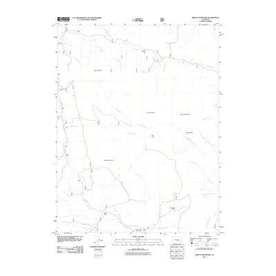
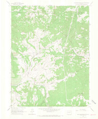
2011 Map of Spruce Mountain
USGS Topo · Published 2011About this map
Spruce Mountain and the surrounding high-country terrain of Mesa County dominate this 2011 survey, reflecting a landscape defined by seasonal ranching and energy exploration. Isolated outposts like Buzzard Cow Camp and Oil Well Camp are connected by rugged Forest Service routes including FS 710 RD, illustrating the functional use of the land. The topography is marked by a series of distinct flatlands and basins, such as Logpile Flat, No Good Park, and the Muddy Basin.
Find a feature on this map
36 named features on this map. Tap any name to fly to it.
Don’t see what you’re looking for? This feature index may not catch every label — zoom into the map to look around manually.
Map Details
Editions of this 2011 Spruce Mountain Map
This is the sole edition of this map. No revisions or reprints were ever made.
Other maps of this area

1957 · Leadville
USGS Topo · 1:250,000

1959 · Leadville
USGS Topo · 1:250,000
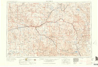
1960 · Leadville
USGS Topo · 1:250,000
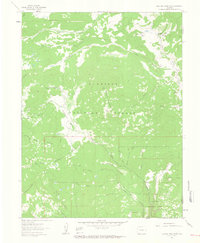
1961 · Electric Mountain
USGS Topo · 1:24,000
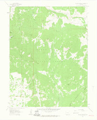
1961 · Porter Mountain
USGS Topo · 1:24,000
1961 · Chalk Mountain
USGS Topo · 1:24,000
1961 · Spruce Mountain
USGS Topo · 1:24,000
1962 · Leadville
USGS Topo · 1:250,000
1963 · Flatiron Mountain
USGS Topo · 1:24,000
1963 · Hightower Mountain
USGS Topo · 1:24,000