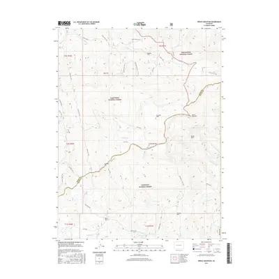
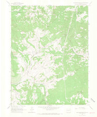
2016 Map of Spruce Mountain
USGS Topo · Published 2016About this map
Spruce Mountain serves as a prominent geographic hub where three massive public lands converge: the White River National Forest, the Grand Mesa National Forest, and the Gunnison National Forest. This high-altitude landscape is characterized by a complex network of drainage basins and ridges, including the notable Buzzard Divide and Muddy Basin. The area is deeply dissected by numerous watercourses such as Owens Creek, Crooked Cr, and the E Fork Little Muddy Cr. Access through this high country is documented via a series of established routes like the Power Line Trail, Burn Trail, and the Oil Mountain Loop Trail, reflecting the land's management for both utility and recreation. Smaller topographic features like No Good Park, Logpile Flat, and Mule Park dot the terrain, providing specific landmarks for those navigating the backcountry between Oil Well Mtn and Ruth Mtn.
Find a feature on this map
54 named features on this map. Tap any name to fly to it.
Don’t see what you’re looking for? This feature index may not catch every label — zoom into the map to look around manually.
Map Details
Editions of this 2016 Spruce Mountain Map
This is the sole edition of this map. No revisions or reprints were ever made.
Other maps of this area

1957 · Leadville
USGS Topo · 1:250,000

1959 · Leadville
USGS Topo · 1:250,000
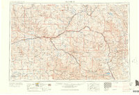
1960 · Leadville
USGS Topo · 1:250,000
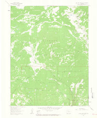
1961 · Electric Mountain
USGS Topo · 1:24,000
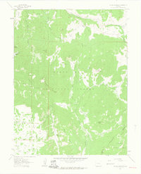
1961 · Porter Mountain
USGS Topo · 1:24,000
1961 · Chalk Mountain
USGS Topo · 1:24,000
1961 · Spruce Mountain
USGS Topo · 1:24,000
1962 · Leadville
USGS Topo · 1:250,000
1963 · Flatiron Mountain
USGS Topo · 1:24,000
1963 · Hightower Mountain
USGS Topo · 1:24,000