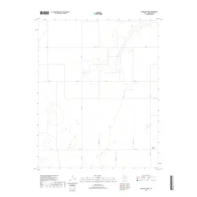
2019 Map of Spurlock Chapel
USGS Topo · Published 2019About this map
Spurlock Chapel stands as a focal point in this portion of Sherman County, marking a site of local significance in a landscape defined by expansive agriculture and section-line roads. The terrain is patterned by a network of rural routes, including FM 1573 and Hudson Rd, which facilitate the movement of goods and people across the high plains of the Texas Panhandle. The placement of the chapel alongside Co Rd 17 highlights the importance of these small community hubs in maintaining social and spiritual connections within a sparsely populated ranching and farming region. Small depressions and natural drainage features dot the landscape, illustrating the subtle topography of the Llano Estacado. This 2019 survey captures the modern configuration of traditional land divisions, showing how established family-named routes like Hudson Boost Rd continue to define the local geography.
Find a feature on this map
11 named features on this map. Tap any name to fly to it.
Don’t see what you’re looking for? This feature index may not catch every label — zoom into the map to look around manually.
Map Details
Editions of this 2019 Spurlock Chapel Map
This is the sole edition of this map. No revisions or reprints were ever made.
Other maps of this area
1954 · Perryton
USGS Topo · 1:250,000
1954 · Dalhart
USGS Topo · 1:250,000
1958 · Perryton
USGS Topo · 1:250,000
1958 · Dalhart
USGS Topo · 1:250,000
1962 · Dalhart
USGS Topo · 1:250,000
1963 · Cactus East
USGS Topo · 1:24,000
1964 · Stevens SW
USGS Topo · 1:24,000
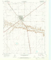
1964 · Stratford
USGS Topo · 1:24,000
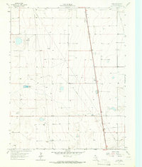
1965 · Lautz
USGS Topo · 1:24,000
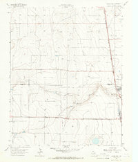
1965 · Cactus West
USGS Topo · 1:24,000