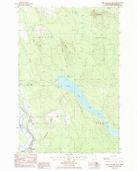
1986 Map of Squa Pan Lake West
USGS Topo · Published 1986About this map
Masardis sits at the confluence of the Aroostook River and St Croix Stream in this mid-1980s look at northern Maine's working landscape. The area is defined by the massive Squa Pan Lake, which is regulated for hydroelectric power as evidenced by the Powerhouse located where the lake feeds into Squa Pan Stream. This industrial infrastructure, combined with a Gaging Station and various Gravel Pit sites, highlights the region's historical reliance on natural resource management.
Find a feature on this map
18 named features on this map. Tap any name to fly to it.
Don’t see what you’re looking for? This feature index may not catch every label — zoom into the map to look around manually.
Map Details
Editions of this 1986 Squa Pan Lake West Map
This is the sole edition of this map. No revisions or reprints were ever made.
Other maps of this area
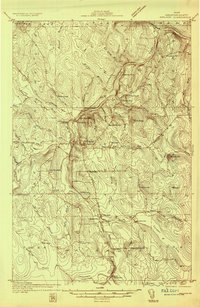
1931 · Ashland
USGS Topo · 1:48,000
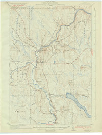
1934 · Ashland
USGS Topo · 1:62,500
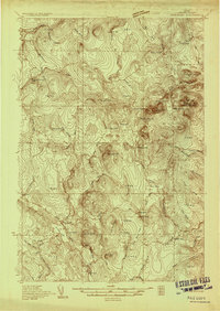
1935 · Howe Brook
USGS Topo · 1:48,000
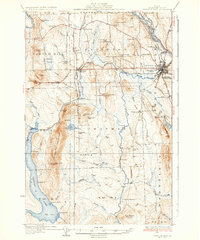
1935 · Presque Isle
USGS Topo · 1:62,500
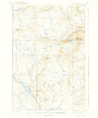
1939 · Howe Brook
USGS Topo · 1:62,500
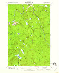
1940 · Oxbow
USGS Topo · 1:62,500
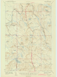
1942 · Oxbow
USGS Topo · 1:62,500
1953 · Ashland
USGS Topo · 1:62,500
1953 · Presque Isle
USGS Topo · 1:62,500
1954 · Howe Brook
USGS Topo · 1:62,500