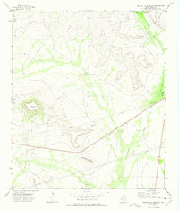
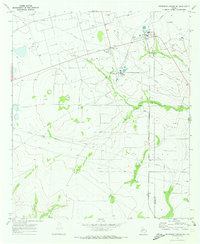
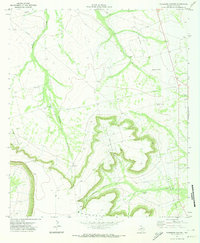
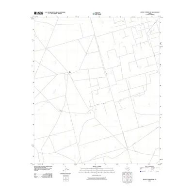
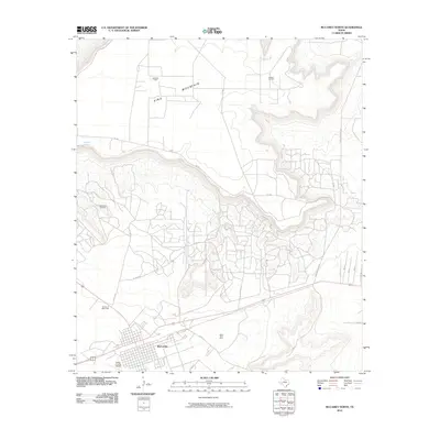
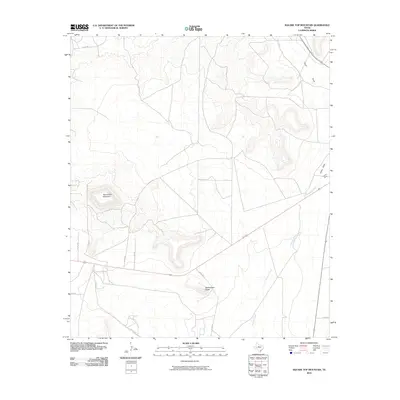
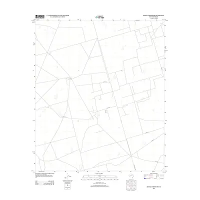
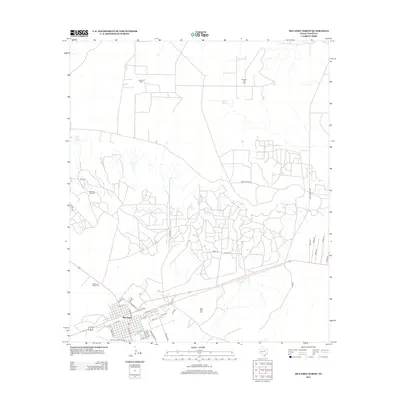
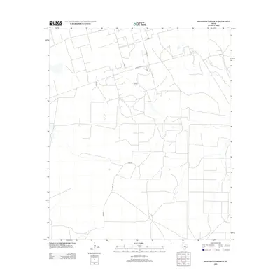
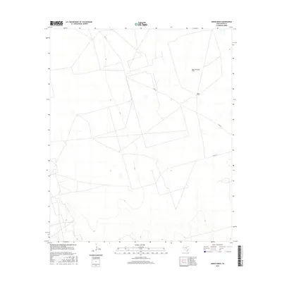
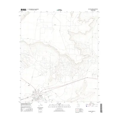
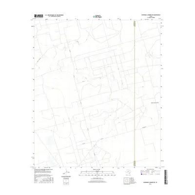
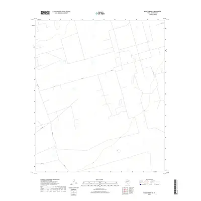
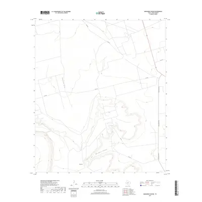
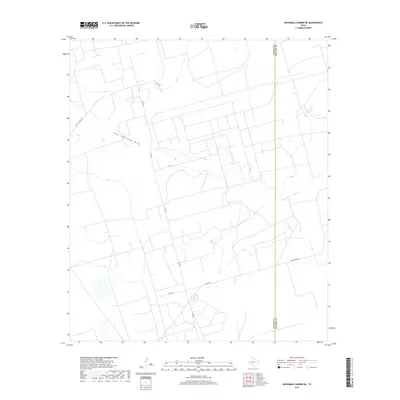
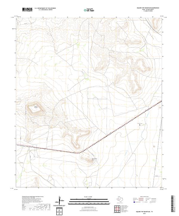
1972 Map of Square Top Mountain
USGS Topo · Published 1975About this map
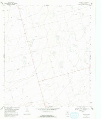
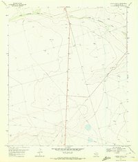
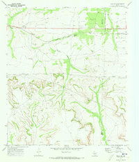
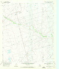
Square Top Mountain and Rattlesnake Butte dominate this West Texas landscape in the early 1970s, where the topography of Upton County transitions between high mesas and carved drainage channels. The industrial character of the region is defined by a dense network of energy infrastructure, evidenced by numerous Oil Wells, Drill Holes, and a complex system of pipelines that traverse the terrain. Transportation through these high plains is anchored by the Atchison Topeka and Santa Fe railroad, which cuts a straight diagonal path across the southern half of the quadrangle. Natural water features like China Draw and Fivemile Creek indicate the seasonal flow patterns that have shaped the arid environment, providing a stark contrast to the rigid lines of the rail and petroleum corridors. This survey offers a precise view of the mid-century oil and gas expansion that continues to define the geography of the Permian Basin.
Find a feature on this map
11 named features on this map. Tap any name to fly to it.
Don’t see what you’re looking for? This feature index may not catch every label — zoom into the map to look around manually.
Map Details
Editions of this 1972 Square Top Mountain Map
This is the sole edition of this map. No revisions or reprints were ever made.
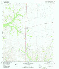
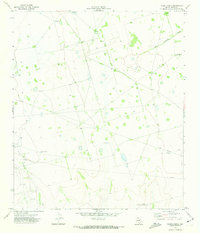
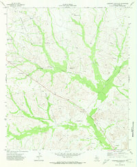
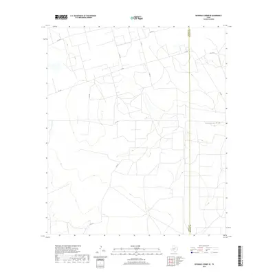
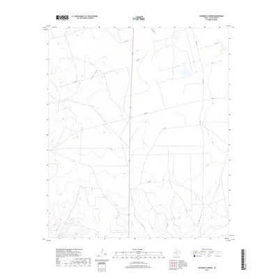
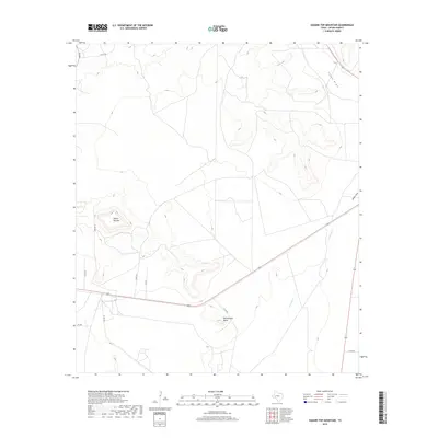
Historical Maps of Upton County Through Time
90 maps found
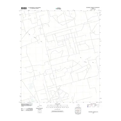
1968 Benge Corner SE
Upton County, TX
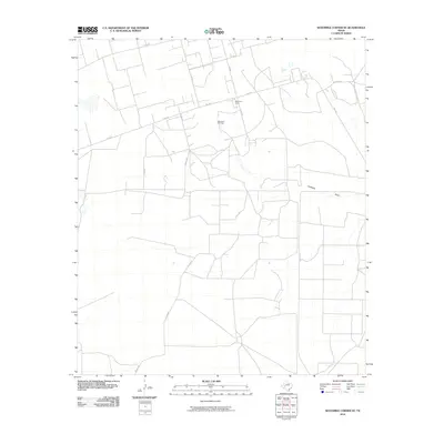
1968 Benge Corner SW
Upton County, TX
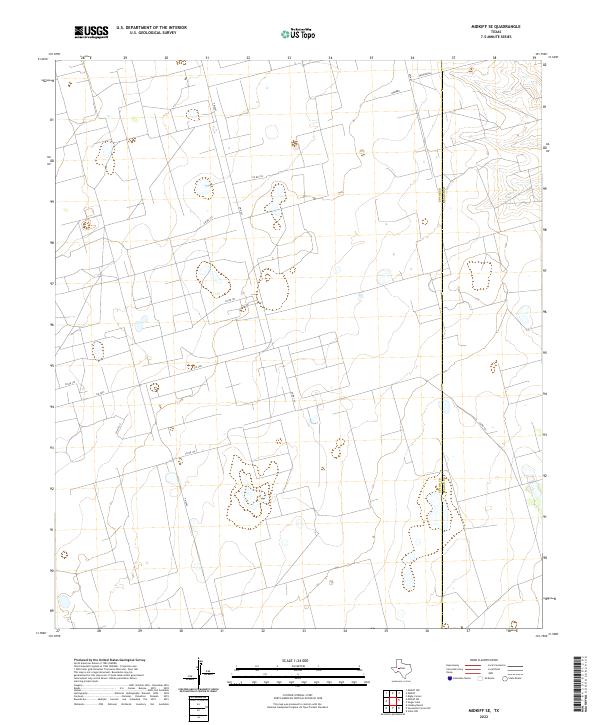
1968 Midkiff SE
Upton County, TX
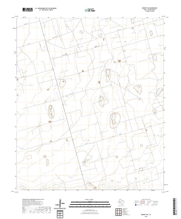
1968 Midkiff SW
Upton County, TX
1970 Lindsey Ranch
Upton County, TX
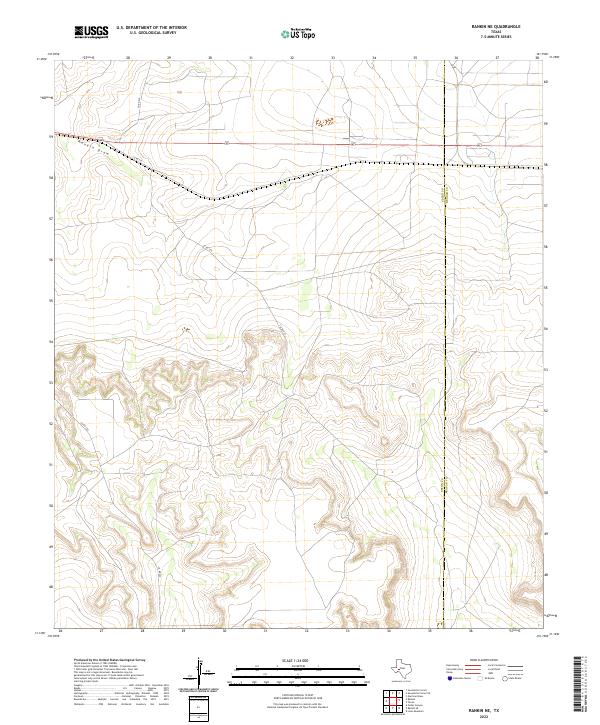
1970 Rankin NE
Upton County, TX
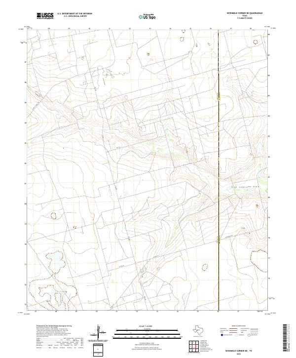
1970 Sevenmile Corner NE
Upton County, TX
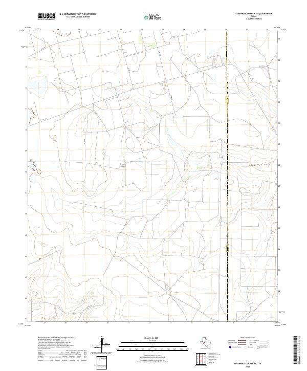
1970 Sevenmile Corner SE
Upton County, TX
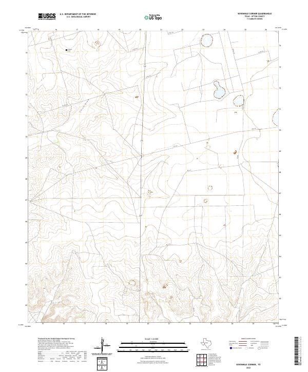
1970 Sevenmile Corner
Upton County, TX
1971 Hanks Ranch
Upton County, TX
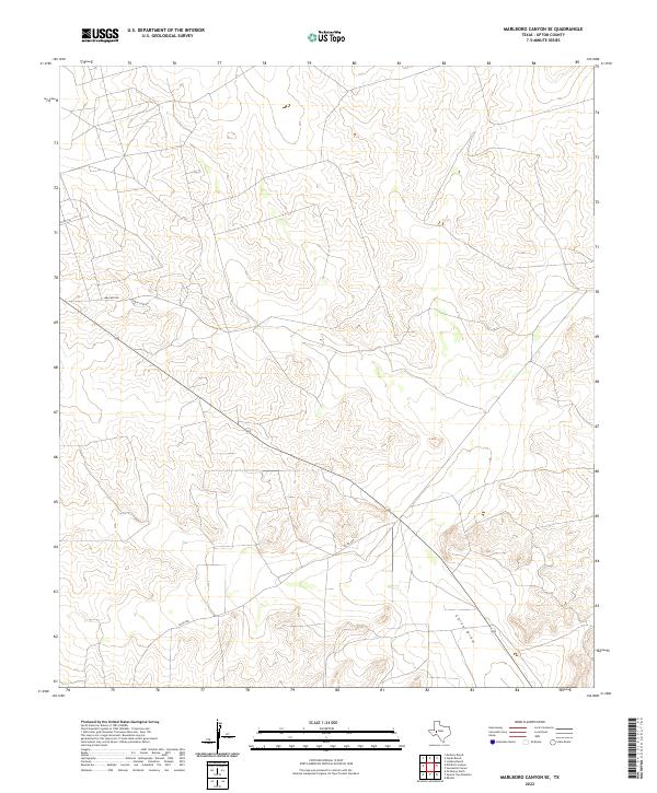
1971 Marlboro Canyon SE
Upton County, TX
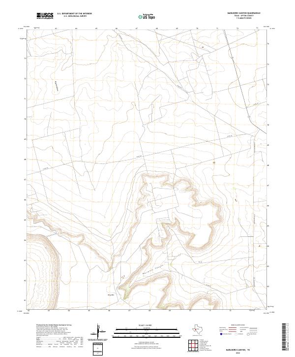
1971 Marlboro Canyon
Upton County, TX
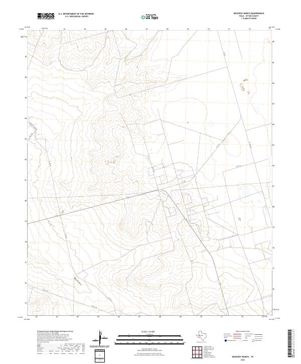
1971 McElroy Ranch
Upton County, TX
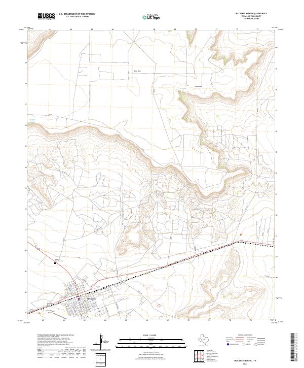
1972 McCamey North
Upton County, TX
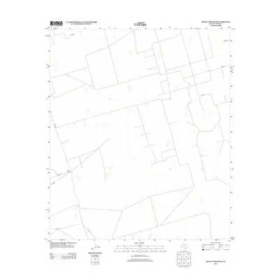
1972 Square Top Mountain
Upton County, TX
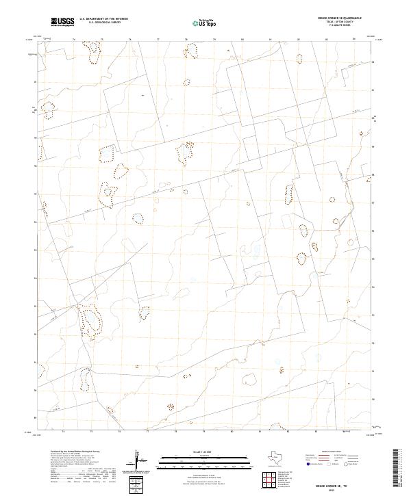
2010 Benge Corner SE
Upton County, TX
2010 Benge Corner SW
Upton County, TX
2010 Hanks Ranch
Upton County, TX

2010 Lindsey Ranch
Upton County, TX
2010 Marlboro Canyon SE
Upton County, TX
2010 Marlboro Canyon
Upton County, TX
2010 McCamey North
Upton County, TX
2010 McElroy Ranch
Upton County, TX
2010 Midkiff SE
Upton County, TX

2010 Midkiff SW
Upton County, TX
2010 Rankin NE
Upton County, TX
2010 Sevenmile Corner NE
Upton County, TX
2010 Sevenmile Corner SE
Upton County, TX

2010 Sevenmile Corner
Upton County, TX
2010 Square Top Mountain
Upton County, TX
2012 Benge Corner SE
Upton County, TX
2012 Benge Corner SW
Upton County, TX
2012 Lindsey Ranch
Upton County, TX
2012 Marlboro Canyon SE
Upton County, TX
2012 Marlboro Canyon
Upton County, TX
2012 McCamey North
Upton County, TX

2012 McElroy Ranch
Upton County, TX

2012 Midkiff SE
Upton County, TX
2012 Midkiff SW
Upton County, TX
2012 Rankin NE
Upton County, TX
2012 Sevenmile Corner NE
Upton County, TX
2012 Sevenmile Corner SE
Upton County, TX
2012 Sevenmile Corner
Upton County, TX

2012 Square Top Mountain
Upton County, TX
2013 Hanks Ranch
Upton County, TX

2016 Benge Corner SE
Upton County, TX
2016 Benge Corner SW
Upton County, TX
2016 Hanks Ranch
Upton County, TX
2016 Lindsey Ranch
Upton County, TX
2016 Marlboro Canyon SE
Upton County, TX
2016 Marlboro Canyon
Upton County, TX
2016 McCamey North
Upton County, TX
2016 McElroy Ranch
Upton County, TX

2016 Midkiff SE
Upton County, TX
2016 Midkiff SW
Upton County, TX
2016 Rankin NE
Upton County, TX
2016 Sevenmile Corner NE
Upton County, TX
2016 Sevenmile Corner SE
Upton County, TX
2016 Sevenmile Corner
Upton County, TX
2016 Square Top Mountain
Upton County, TX
2019 Benge Corner SE
Upton County, TX

2019 Benge Corner SW
Upton County, TX
2019 Hanks Ranch
Upton County, TX
2019 Lindsey Ranch
Upton County, TX
2019 Marlboro Canyon SE
Upton County, TX
2019 Marlboro Canyon
Upton County, TX
2019 McCamey North
Upton County, TX

2019 McElroy Ranch
Upton County, TX
2019 Midkiff SE
Upton County, TX

2019 Midkiff SW
Upton County, TX
2019 Rankin NE
Upton County, TX
2019 Sevenmile Corner NE
Upton County, TX
2019 Sevenmile Corner SE
Upton County, TX
2019 Sevenmile Corner
Upton County, TX
2019 Square Top Mountain
Upton County, TX
2022 Benge Corner SE
Upton County, TX
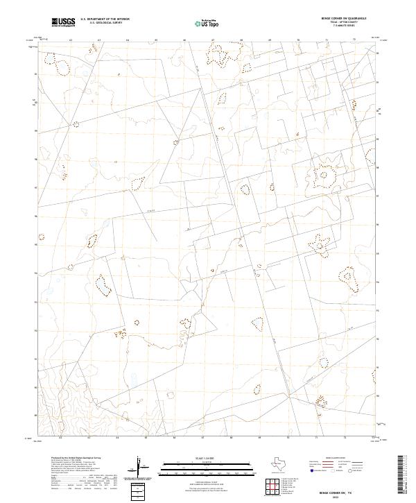
2022 Benge Corner SW
Upton County, TX
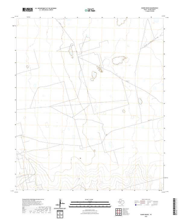
2022 Hanks Ranch
Upton County, TX
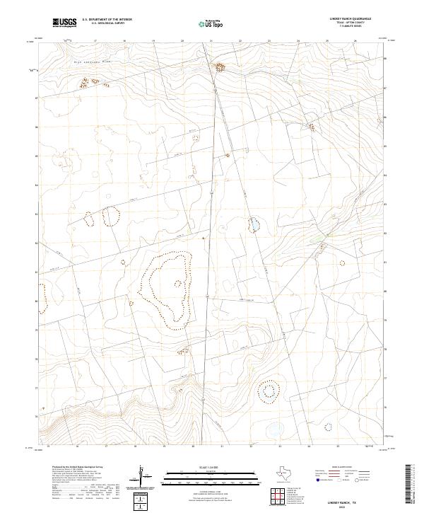
2022 Lindsey Ranch
Upton County, TX
2022 Marlboro Canyon SE
Upton County, TX
2022 Marlboro Canyon
Upton County, TX
2022 McCamey North
Upton County, TX
2022 McElroy Ranch
Upton County, TX
2022 Midkiff SE
Upton County, TX
2022 Midkiff SW
Upton County, TX
2022 Rankin NE
Upton County, TX
2022 Sevenmile Corner NE
Upton County, TX
2022 Sevenmile Corner SE
Upton County, TX
2022 Sevenmile Corner
Upton County, TX
2022 Square Top Mountain
Upton County, TX